Transport Functions
Port
Multimodal
Hub Profile
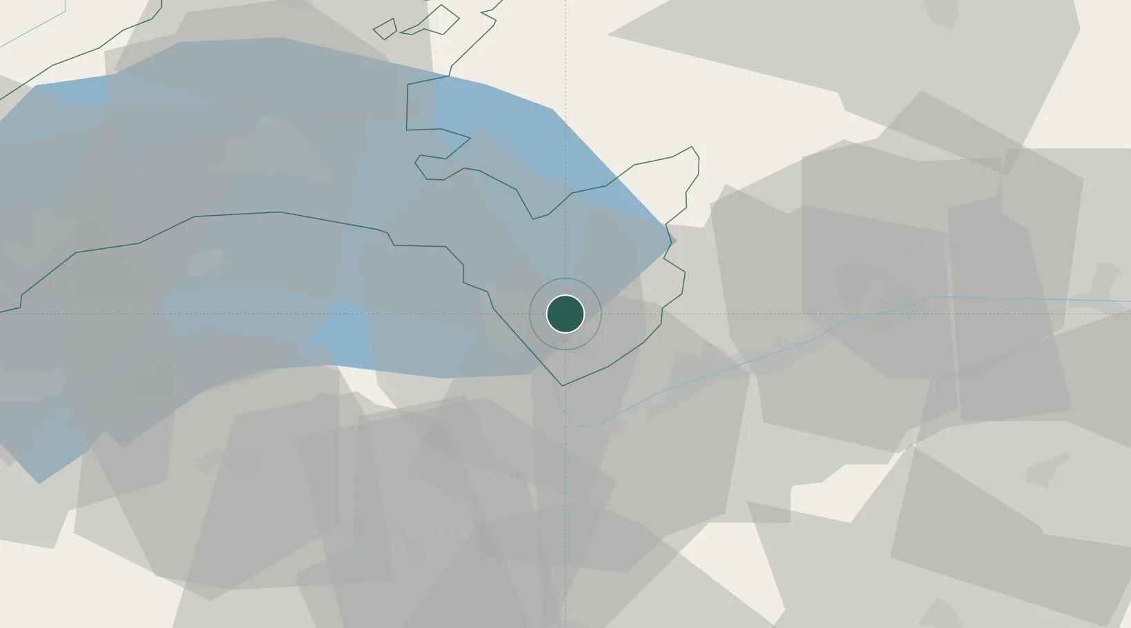
Place type
Populated place
Region
Vaud
Time zone
Europe/Zurich
Elevation
1,239 m
Location
Nearby Logistics Neighbours
Cities
- 1Ollon5 km
- 2Bex6 km
- 3Collombey9 km
- 4Sankt Maurice11 km
- 5Villeneuve14 km
Ports
- 1Savona248 km
- 2Rada Di Vado252 km
- 3Genova257 km
- 4Imperia280 km
- 5San Remo282 km
Airports
- 1Sion Airport23 km
- 2Payerne Air Base61 km
- 3Annemasse Airfield61 km
- 4Aosta Corrado Gex Airport67 km
- 5Geneva Cointrin International Airport73 km
Trade Zones
DatabookThe Record of Consolidated Knowledge
Switzerland beyond logistics?