Transport Functions
Port
Rail
Road
Hub Profile
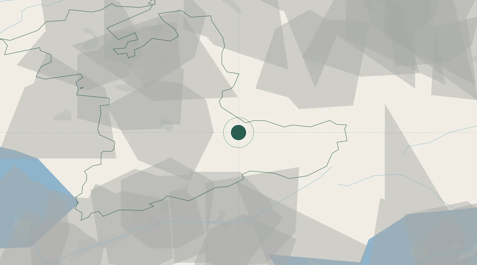
Region
BE
Location
Nearby Logistics Neighbours
Cities
- 1Brienz7 km
- 2Neuhaus12 km
- 3Meiringen18 km
- 4Lungern18 km
- 5Escholzmatt20 km
Ports
- 1Genova271 km
- 2Savona272 km
- 3Rada Di Vado277 km
- 4Chiavari - Lavagna291 km
- 5Imperia317 km
Airports
- 1Alpnach Air Base35 km
- 2Bern Airport40 km
- 3Emmen Air Base48 km
- 4Grenchen Airfield64 km
- 5Sion Airport75 km
Trade Zones
- 1PESA - Port-Franc et Entrepôts de Lausanne-Chavornay SA106 km
- 2Port Franc Vevey110 km
- 3ZFU Mulhouse122 km
- 4ZFU Montbéliard123 km
- 5Magazzini Generali Con Chiasso125 km
DatabookThe Record of Consolidated Knowledge
Switzerland beyond logistics?