Transport Functions
Port
Rail
Road
Hub Profile
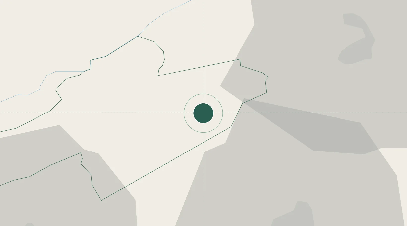
Place type
Populated place
Region
Neuchâtel
Time zone
Europe/Zurich
Elevation
461 m
Location
Nearby Logistics Neighbours
Cities
- 1Marin-Epagnier3 km
- 2Cressier6 km
- 3Gampelen6 km
- 4Le Landeron8 km
- 5Ins10 km
Ports
- 1Savona323 km
- 2Rada Di Vado327 km
- 3Genova328 km
- 4Chiavari - Lavagna353 km
- 5Imperia358 km
Airports
- 1Les Eplatures Airport15 km
- 2Payerne Air Base20 km
- 3Grenchen Airfield39 km
- 4Bern Airport42 km
- 5Montbéliard-Courcelles Airfield54 km
Trade Zones
- 1PESA - Port-Franc et Entrepôts de Lausanne-Chavornay SA46 km
- 2ZFU Montbéliard56 km
- 3Port Franc Vevey69 km
- 4ZFU Belfort71 km
- 5ZFU Besancon77 km
DatabookThe Record of Consolidated Knowledge
Switzerland beyond logistics?