Transport Functions
Multimodal
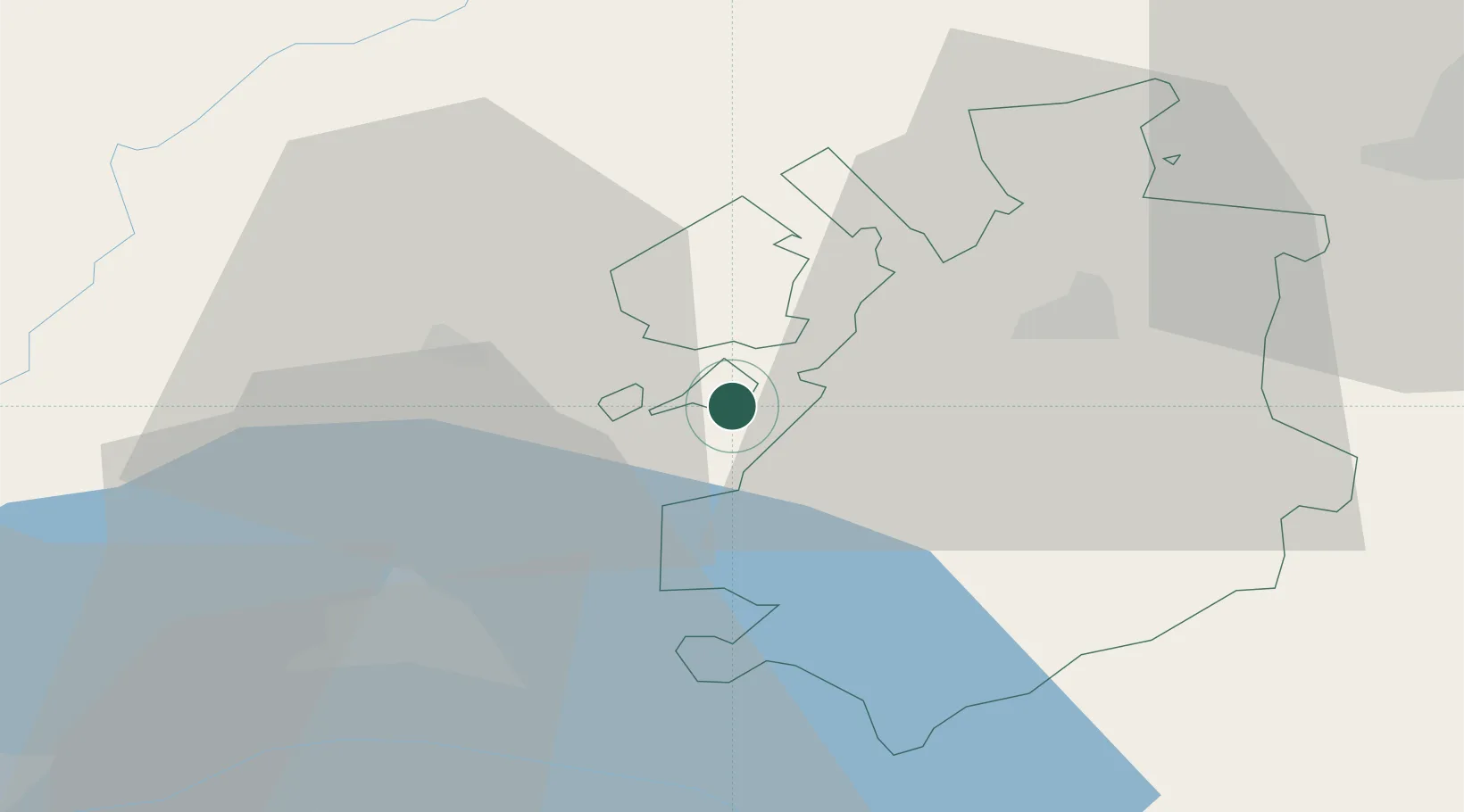
Hub Profile
Place type
Populated place
Region
Vaud
Time zone
Europe/Zurich
Elevation
535 m
Location
Nearby Logistics Neighbours
Cities
- 1Billens6 km
- 2Siviriez7 km
- 3Villaz-Saint-Pierre8 km
- 4Moudon9 km
- 5Villorsonnens10 km
Ports
- 1Savona297 km
- 2Rada Di Vado301 km
- 3Genova305 km
- 4Imperia330 km
- 5Chiavari - Lavagna331 km
Airports
- 1Payerne Air Base13 km
- 2Les Eplatures Airport39 km
- 3Bern Airport52 km
- 4Grenchen Airfield65 km
- 5Sion Airport67 km
DatabookThe Record of Consolidated Knowledge
Switzerland beyond logistics?