Transport Functions
Rail
Road
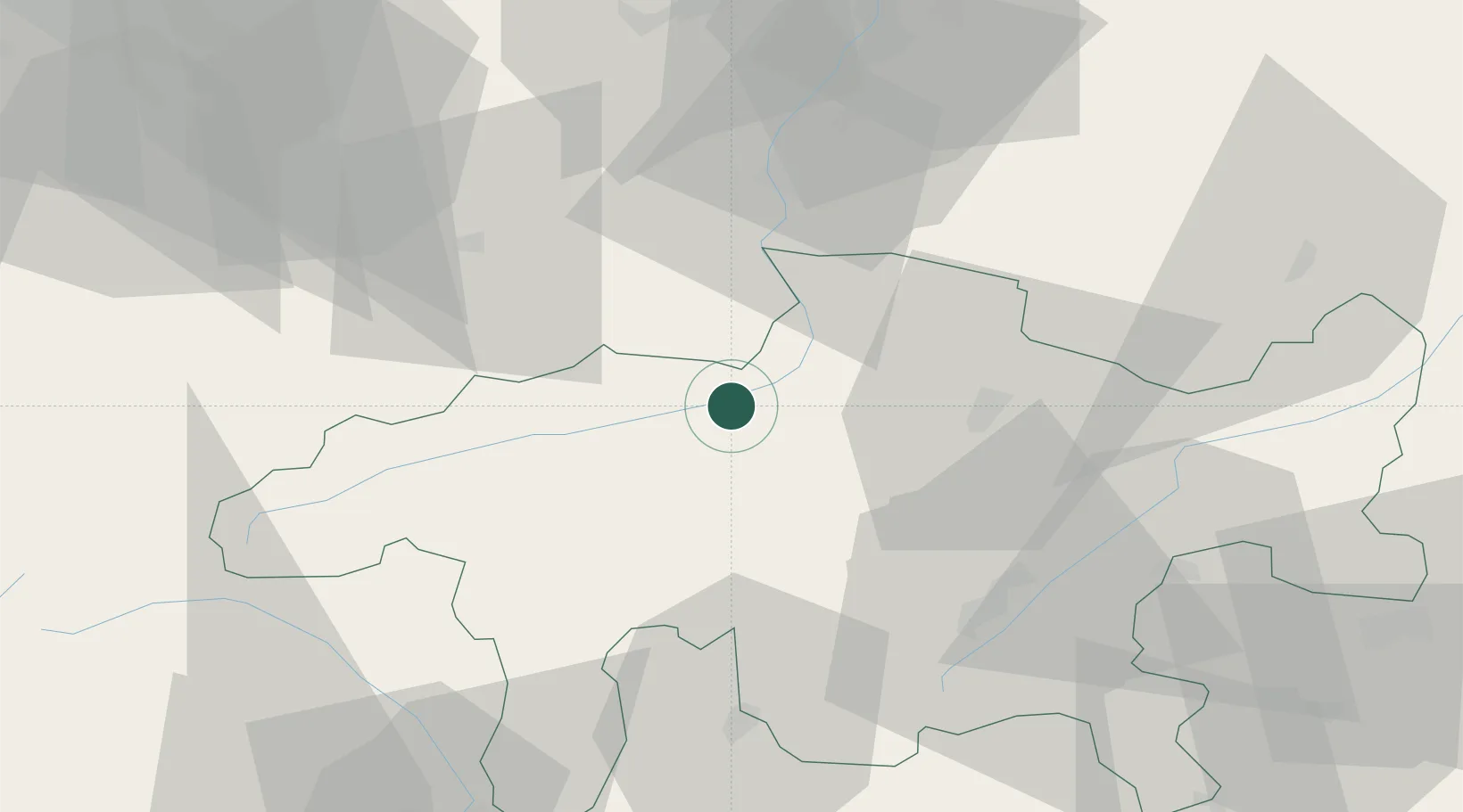
Hub Profile
Place type
Provincial seat
Region
Grisons
Population
6,817
Time zone
Europe/Zurich
Elevation
585 m
Logistics facilities
1
Location
Nearby Logistics Neighbours
Ports
- 1Genova273 km
- 2Porto Di Lido-Venezia280 km
- 3Chiavari - Lavagna281 km
- 4Porto Di Chioggia284 km
- 5Savona289 km
Airports
- 1Engadin Airport48 km
- 2Sankt Gallen Altenrhein Airport74 km
- 3Dübendorf Air Base87 km
- 4Alpnach Air Base88 km
- 5Emmen Air Base90 km
Trade Zones
- 1Livigno Free Trade Zone61 km
- 2Magazzini Generali Con Chiasso115 km
- 3ZFU Mulhouse188 km
- 4ZFU Montbéliard214 km
- 5ZFU Belfort218 km
DatabookThe Record of Consolidated Knowledge
Switzerland beyond logistics?