Transport Functions
Rail
Road
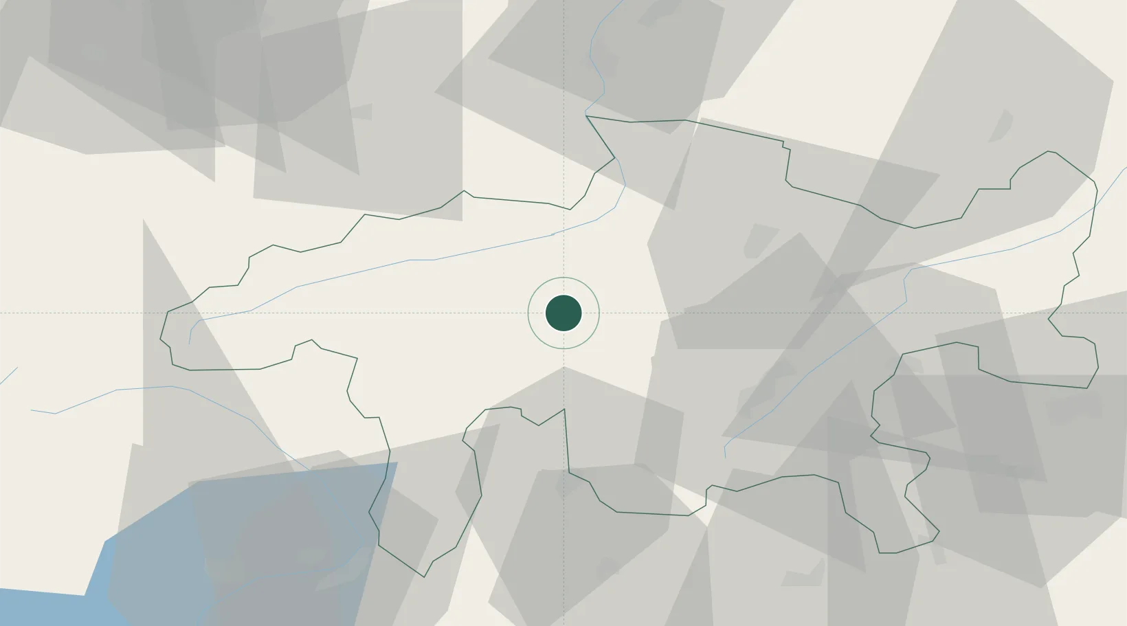
Hub Profile
Place type
Populated place
Region
Grisons
Population
2,572
Time zone
Europe/Zurich
Elevation
700 m
Location
Nearby Logistics Neighbours
Cities
- 1Domat16 km
- 2Ilanz20 km
- 3Davos Glaris26 km
- 4Zizers30 km
- 5Landquart31 km
Ports
- 1Genova257 km
- 2Chiavari - Lavagna265 km
- 3Porto Di Lido-Venezia271 km
- 4Savona273 km
- 5Porto Di Chioggia274 km
Airports
- 1Engadin Airport38 km
- 2Lugano Airport86 km
- 3Sankt Gallen Altenrhein Airport90 km
- 4Alpnach Air Base92 km
- 5Emmen Air Base97 km
Trade Zones
- 1Livigno Free Trade Zone54 km
- 2Magazzini Generali Con Chiasso100 km
- 3ZFU Mulhouse198 km
- 4PESA - Port-Franc et Entrepôts de Lausanne-Chavornay SA219 km
- 5ZFU Montbéliard220 km
DatabookThe Record of Consolidated Knowledge
Switzerland beyond logistics?