Transport Functions
Rail
Road
Hub Profile
Place type
Populated place
Region
Vaud
Time zone
Europe/Zurich
Elevation
450 m
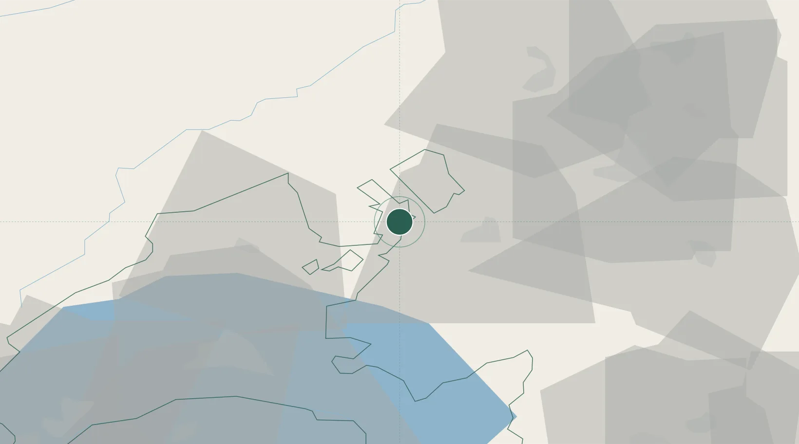
Location
Nearby Logistics Neighbours
Cities
- 1Cousset5 km
- 2Avenches8 km
- 3Montbrelloz8 km
- 4Avry9 km
- 5Salavaux10 km
Ports
- 1Savona304 km
- 2Rada Di Vado308 km
- 3Genova311 km
- 4Chiavari - Lavagna336 km
- 5Imperia338 km
Airports
- 1Payerne Air Base4 km
- 2Les Eplatures Airport31 km
- 3Bern Airport41 km
- 4Grenchen Airfield52 km
- 5Sion Airport74 km
Trade Zones
- 1PESA - Port-Franc et Entrepôts de Lausanne-Chavornay SA34 km
- 2Port Franc Vevey51 km
- 3ZFU Montbéliard76 km
- 4ZFU Besancon85 km
- 5ZFU Belfort91 km
DatabookThe Record of Consolidated Knowledge
Switzerland beyond logistics?