Transport Functions
Port
Multimodal
Hub Profile
Place type
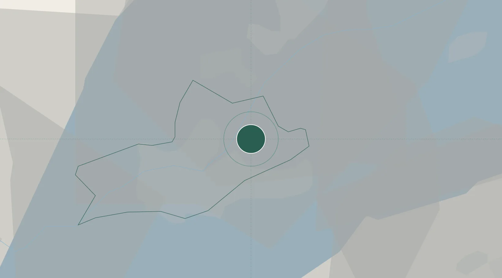
Populated place
Region
Geneva
Time zone
Europe/Zurich
Elevation
398 m
Location
Nearby Logistics Neighbours
Ports
- 1Savona280 km
- 2Rada Di Vado283 km
- 3Monaco296 km
- 4Nice296 km
- 5Genova296 km
Airports
DatabookThe Record of Consolidated Knowledge
Switzerland beyond logistics?