Transport Functions
Port
Rail
Road
Multimodal
Hub Profile
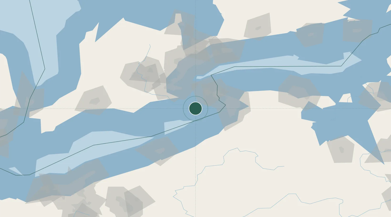
Place type
Populated place
Region
Ontario
Time zone
America/Toronto
Elevation
178 m
Location
Nearby Logistics Neighbours
Cities
- 1Caistor Centre28 km
- 2Stevensville33 km
- 3Grimsby37 km
- 4Saint-Catharines38 km
- 5Port Weller43 km
Ports
- 1Port Maitland11 km
- 2Port Colborne16 km
- 3Welland22 km
- 4Thorold32 km
- 5St Catherine38 km
Airports
Trade Zones
- 1Niagara Foreign Trade Zone41 km
- 2FTZ No. 023 Buffalo47 km
- 3FTZ No. 034 Niagara County58 km
- 4FTZ No. 247 Erie99 km
- 5FTZ No. 141 Monroe County129 km
DatabookThe Record of Consolidated Knowledge
Canada beyond logistics?