Runway & Layout

Airport Specifications
IATA code
INA
ICAO code
UUYI
Airport class
Medium airport
Scheduled service
No
Served city
Inta
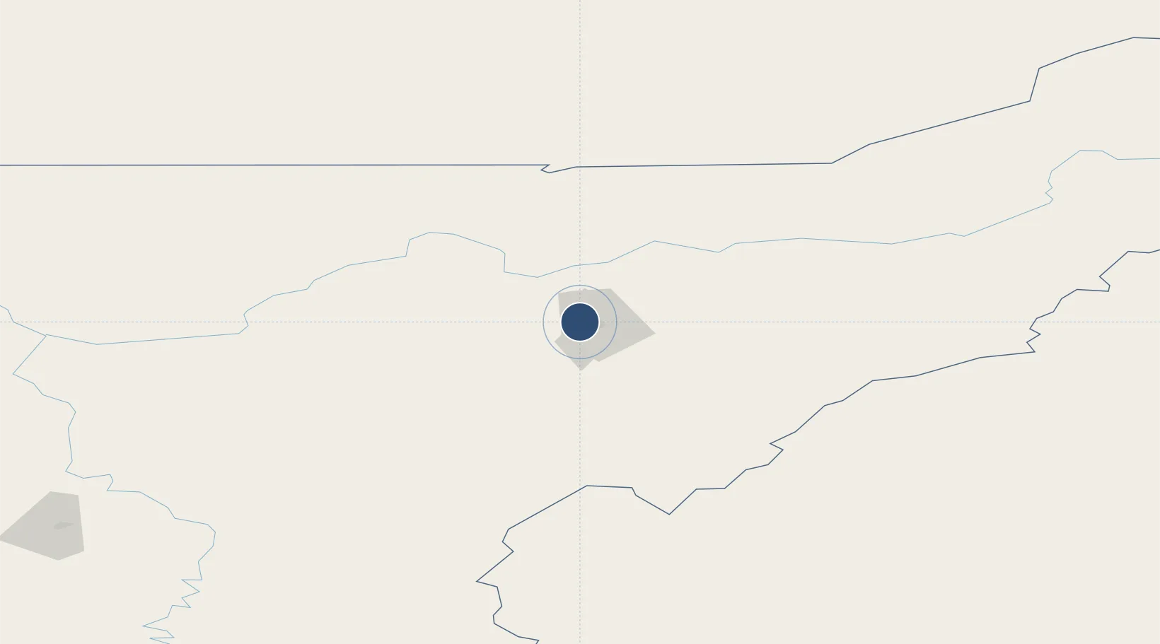
Location
Nearby Logistics Neighbours
Airports
- 1Usinsk Airport124 km
- 2Pechora Airport172 km
- 3Vorkuta Airport233 km
- 4Vorkuta Sovetskiy Air Base242 km
- 5Vuktyl Airport281 km
Cities
- 1Salekhard295 km
- 2Varandey317 km
- 3Polnovat372 km
- 4Longva392 km
- 5Sosnogorsk401 km
Ports
- 1Mezen720 km
- 2Ostrovnoy Gremikha915 km
- 3Arkhangels'k922 km
- 4Severodvinsk954 km
- 5Port Dikson1130 km
DatabookThe Record of Consolidated Knowledge
Russia beyond logistics?