Diversified Zone · China

Hangzhou Bay Shangyu Economic and Technological Development Zone Active
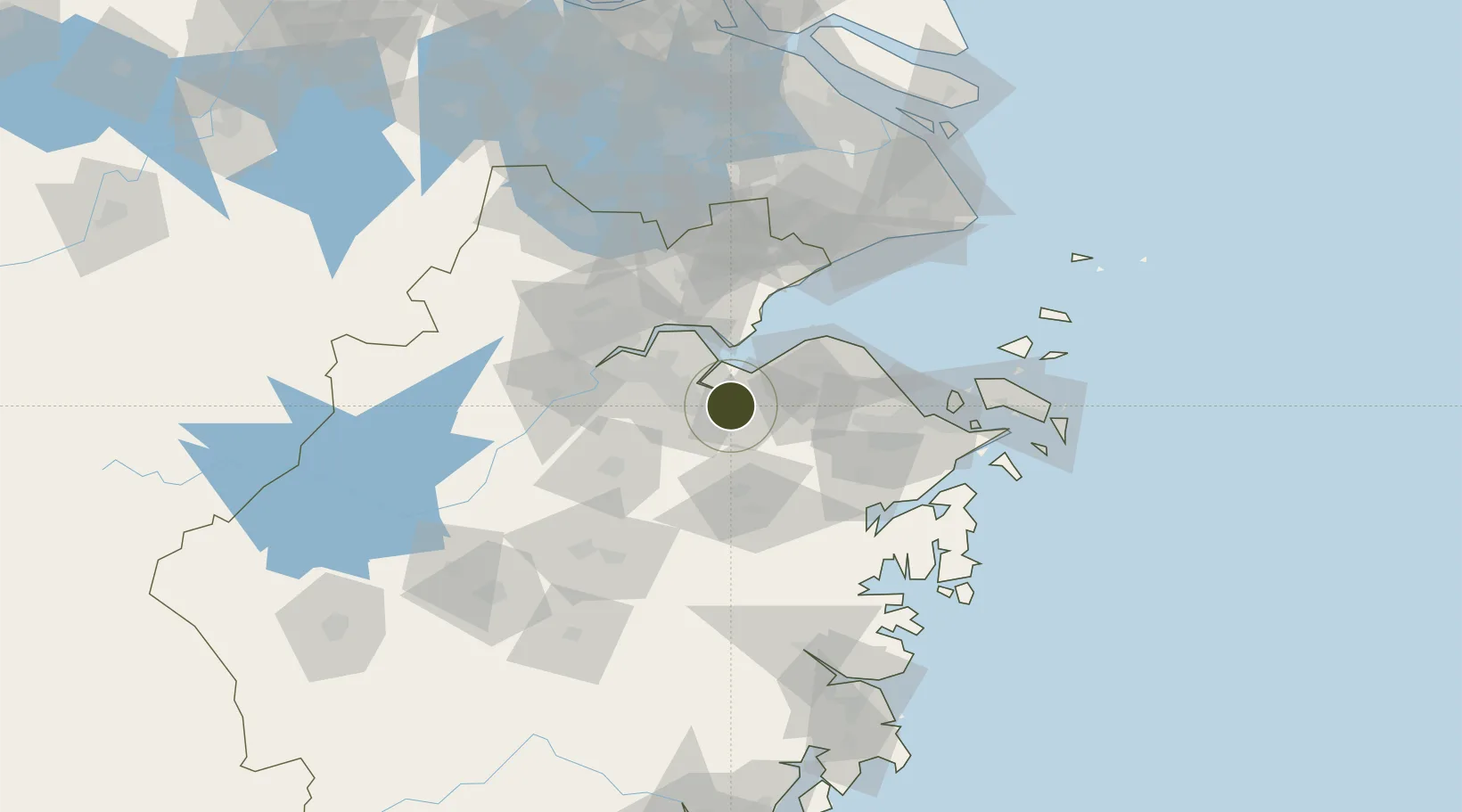
30.0127°, 120.7948°
27,500 ha
Zone area
69.2 km
Nearest port
43.1 km
Nearest airport

Gateway access

Nearest neighbours — logibook spatial index (haversine) over the source coordinates

Zone profile

Zone type
Diversified Zone
Open Zone Map
Region
Zhejiang
Open Zone Map
Status
Active
Open Zone Map
Management
Public
Open Zone Map
Operator
Hangzhou Bay Shangyu Economic and Technological Development Zone Management Committee
Open Zone Map
Legal framework
Zhejiang Provincial Committee of the Communist Party of China, Zhejiang Provincial People's Government: Decision on Accelerating the Construction of a Modern Industrial System (July 27, 2020), Several Opinions of the General Office of the State Council on
Open Zone Map

Location

Location of ozm-5255
Natural Earth 10m (public domain) · Zhejiang · ozm-5255 · 30.01, 120.79GoogleOSMYandex

Nearby Logistics Neighbours

Ports
  1. 1Zhapu69 km
  2. 2Ningbo74 km
  3. 3Zhen Hai88 km
  4. 4Zhoushan126 km
  5. 5Shanghai150 km
Nearest neighbours — logibook spatial index (haversine) over the source coordinates
Airports
  1. 1Hangzhou Xiaoshan International Airport43 km
  2. 2Hangzhou Jianqiao Airport64 km
  3. 3Ningbo Lishe International Airport68 km
  4. 4Ningbo Zhuangqiao Air Base76 km
  5. 5Jiaxing Nanhu Airport77 km
Nearest neighbours — logibook spatial index (haversine) over the source coordinates
Cities
  1. 1Shangyu7 km
  2. 2Shaoxing7 km
  3. 3Yuyao33 km
  4. 4Cixi46 km
  5. 5Shengdong55 km
Nearest neighbours — logibook spatial index (haversine) over the source coordinates
DatabookThe Record of Consolidated Knowledge
China beyond logistics?
Browse databook

All Sources

Trade ZonesOpen Zone Map
CC BY
Portsthe NGA World Port Index
Public domain (US gov)
AirportsOurAirports
Public domain
LocationsUN/LOCODE
UN/LOCODE — free
← China trade zones