Transport Functions
Port
Road
Multimodal
Hub Profile
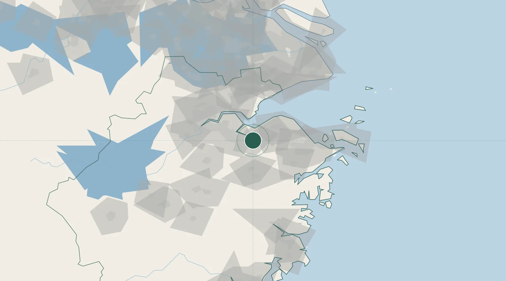
Place type
Populated place
Region
Zhejiang
Population
770,000
Time zone
Asia/Shanghai
Elevation
13 m
Location
Nearby Logistics Neighbours
Airports
Trade Zones
- 1Hangzhou Bay Shangyu Economic and Technological Development Zone7 km
- 2Ningbo Economic and Technological Development Zone38 km
- 3Shaoxing Paojiang Economic and Technological Development Zone (Shaoxing Paojiang New Area)40 km
- 4Ningbo Hangzhou Bay Economic and Technological Development Zone56 km
- 5Hangzhou Free Trade Zone58 km
DatabookThe Record of Consolidated Knowledge
China beyond logistics?