Export Processing Zone · China

Gaoyou Economic Development Zone Active
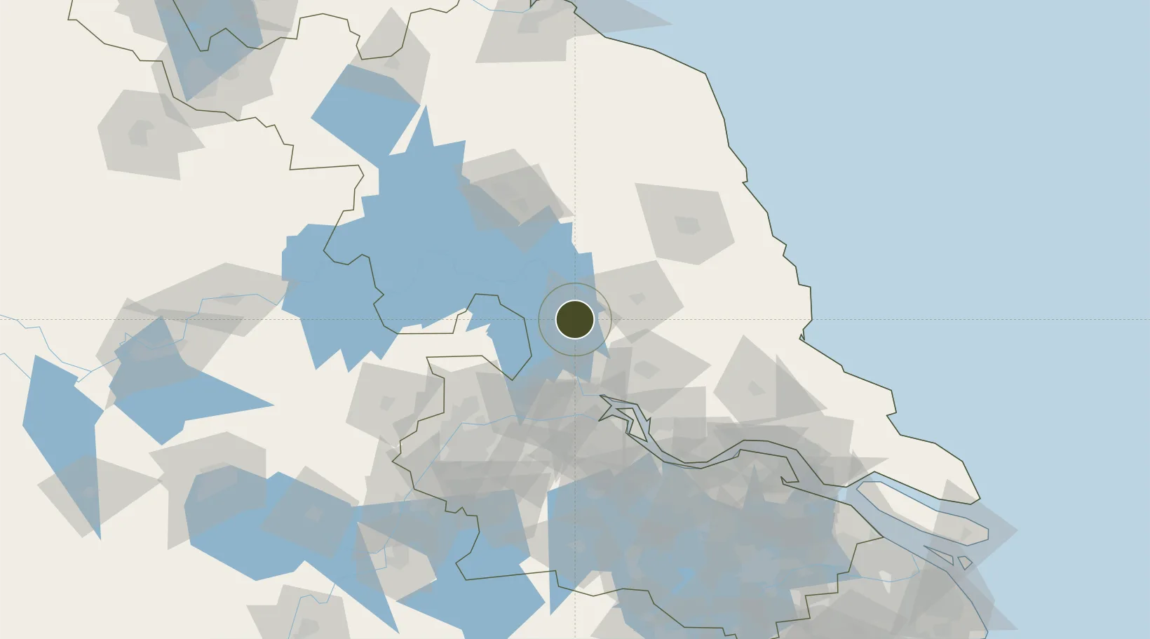
32.8162°, 119.4632°
2,000 ha
Zone area
61.2 km
Nearest port
37.0 km
Nearest airport

Gateway access

Nearest neighbours — logibook spatial index (haversine) over the source coordinates

Zone profile

Zone type
Export Processing Zone
Open Zone Map
Region
Jiangsu
Open Zone Map
Status
Active
Open Zone Map
Management
Public
Open Zone Map
Operator
Working Committee of Gaoyou Economic Development Zone
Open Zone Map
Legal framework
Overall Urban Planning of Gaoyou city (2014-2030)
Open Zone Map

Location

Location of ozm-1349
Natural Earth 10m (public domain) · Jiangsu · ozm-1349 · 32.82, 119.46GoogleOSMYandex

Nearby Logistics Neighbours

Ports
  1. 1Yangzhou61 km
  2. 2Zhenjiang67 km
  3. 3Gaogang70 km
  4. 4Nanjing105 km
  5. 5Changzhou106 km
Nearest neighbours — logibook spatial index (haversine) over the source coordinates
Airports
  1. 1Yangzhou Taizhou Airport37 km
  2. 2Yancheng Nanyang International Airport97 km
  3. 3Changzhou Benniu International Airport104 km
  4. 4Huai'an Lianshui Airport113 km
  5. 5Rugao Air Base115 km
Nearest neighbours — logibook spatial index (haversine) over the source coordinates
Cities
  1. 1Taizhou54 km
  2. 2Yangzhou56 km
  3. 3Yizheng67 km
  4. 4Gaogang68 km
  5. 5Jiangyan72 km
Nearest neighbours — logibook spatial index (haversine) over the source coordinates
Trade Zones
  1. 1Tianchang Economic Development Zone48 km
  2. 2Guangling Economic Development Zone49 km
  3. 3Jinhu Economic Development Zone50 km
  4. 4Baoying Economic Development Zone50 km
  5. 5Jiangdu Economic Development Zone56 km
Nearest neighbours — logibook spatial index (haversine) over the source coordinates
DatabookThe Record of Consolidated Knowledge
China beyond logistics?
Browse databook

All Sources

Trade ZonesOpen Zone Map
CC BY
Portsthe NGA World Port Index
Public domain (US gov)
AirportsOurAirports
Public domain
LocationsUN/LOCODE
UN/LOCODE — free
← China trade zones