Transport Functions
Port
Rail
Road
Hub Profile
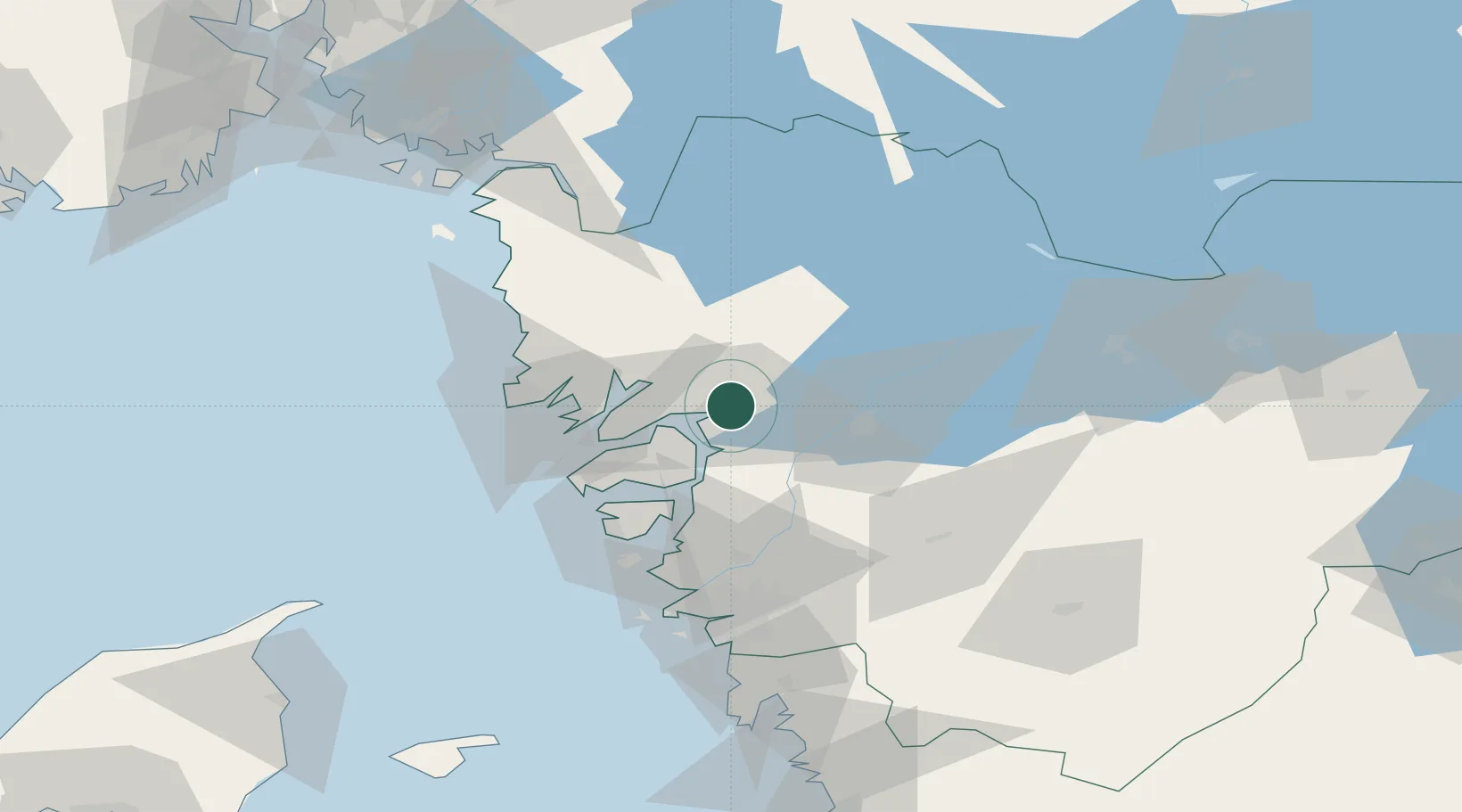
Place type
Provincial seat
Region
Västra Götaland
Population
34,781
Time zone
Europe/Stockholm
Elevation
13 m
Logistics facilities
1
Location
Nearby Logistics Neighbours
Cities
- 1Vänersborg24 km
- 2Trollhättan24 km
- 3Sjuntorp24 km
- 4Svanesund25 km
- 5Brastad25 km
Ports
- 1Brofjorden29 km
- 2Lysekil29 km
- 3Stenungsund31 km
- 4Bovallstrand37 km
- 5Hunnebostrand38 km
Airports
- 1Trollhättan-Vänersborg Airport25 km
- 2Såtenäs Air Base47 km
- 3Säve Airport64 km
- 4Råda Air Base68 km
- 5Göteborg Landvetter Airport80 km
Trade Zones
DatabookThe Record of Consolidated Knowledge
Sweden beyond logistics?