About
Methodology
Sources
Licensing
English
EN
English
TR
Türkçe
DE
Deutsch
FR
Français
ES
Español
IT
Italiano
PT
Português
NL
Nederlands
PL
Polski
RU
Русский
UK
Українська
CS
Čeština
RO
Română
EL
Ελληνικά
BG
Български
AR
العربية
FA
فارسی
UR
اردو
HI
हिन्दी
BN
বাংলা
ID
Bahasa Indonesia
VI
Tiếng Việt
ZH
中文
JA
日本語
KO
한국어
logibook
/
Countries
/
Ukraine
/
Locations
/
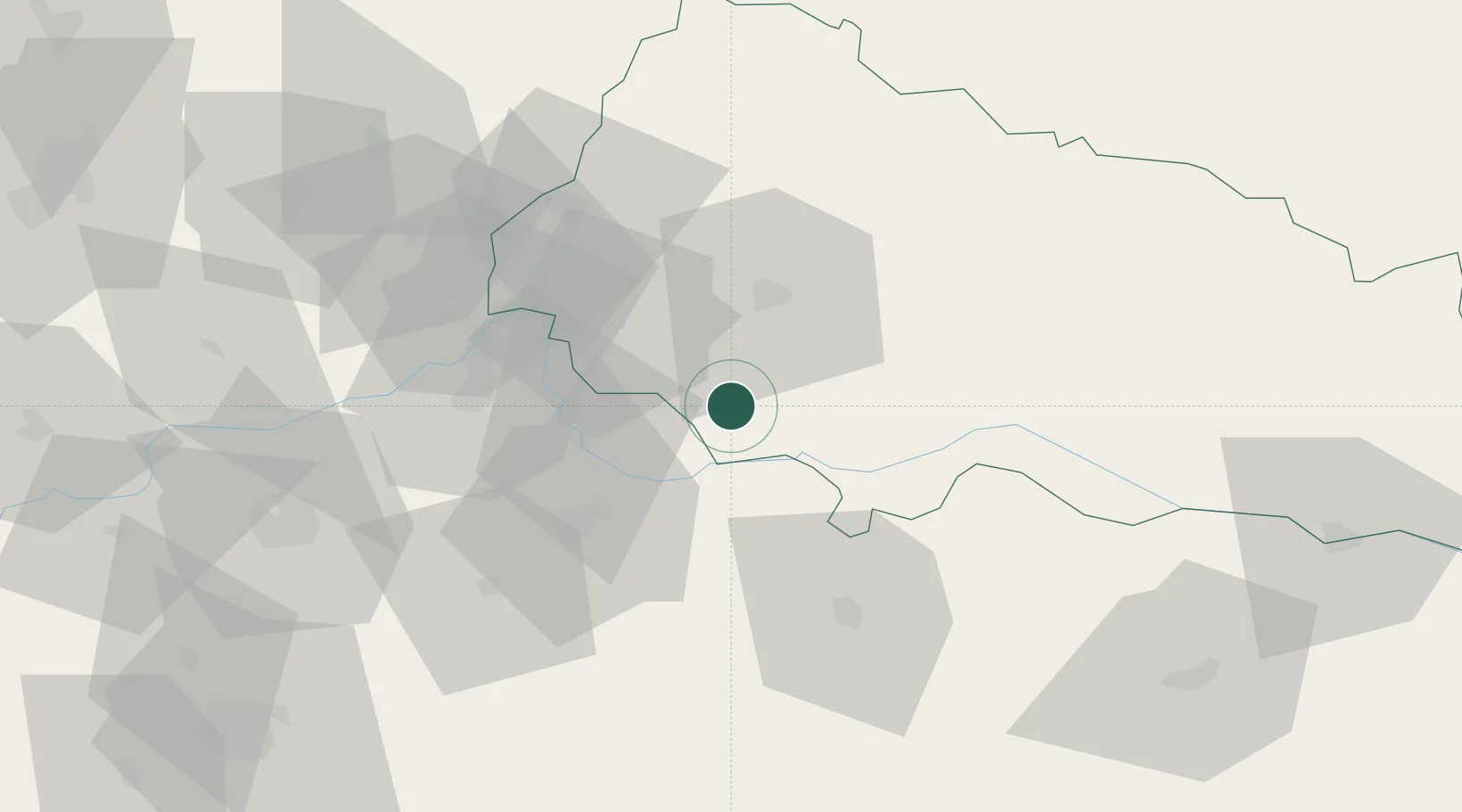
Beregovo
UN/LOCODE hub ·
Ukraine
UA
ZUE
Beregovo
48.2167°, 22.6333°
1
Transport functions
Transport Functions
Multimodal
UN/LOCODE
Hub Profile
Region
21
GeoNames
Location
Natural Earth 10m (public domain) · 21 · UAZUE · 48.22, 22.63
Google ↗
OSM ↗
Yandex ↗
Nearby Logistics Neighbours
Cities
1
Mukachëvo
27 km
2
Vásárosnamény
27 km
3
Mandok
34 km
4
Mátészalka
38 km
5
Chop
39 km
Nearest neighbours — logibook spatial index (haversine) over the source coordinates
Ports
1
Galati
518 km
2
Braila
524 km
3
Reni
531 km
4
Izmayil
572 km
5
Tulcea
581 km
Nearest neighbours — logibook spatial index (haversine) over the source coordinates
Airports
1
Uzhhorod International Airport
54 km
2
Satu Mare International Airport
60 km
3
Maramureș International Airport
88 km
4
Debrecen International Airport
111 km
5
Košice International Airport
114 km
Nearest neighbours — logibook spatial index (haversine) over the source coordinates
Trade Zones
1
Customs Free Zone Zahony
41 km
2
Transcarpathian Special Economic Zone (Zakarpattia)
52 km
3
Special Economic Zone Kurortopolis Truskavets
134 km
4
Special Economic Zone Yavoriv
200 km
5
Free Zone Curtici Arad
231 km
Nearest neighbours — logibook spatial index (haversine) over the source coordinates
Data
book
The Record of Consolidated Knowledge
Ukraine beyond logistics?
Browse databook
→
All Sources
Locations
UN/LOCODE
UN/LOCODE — free
↗
Ports
the NGA World Port Index
Public domain (US gov)
↗
Airports
OurAirports
Public domain
↗
Trade Zones
the World Bank SEZ database
CC BY 4.0
↗
Trade Zones
Open Zone Map
CC BY
↗
← Ukraine locations