Transport Functions
Port
Rail
Road
Hub Profile
Place type
Provincial seat
Region
Sakhalin Oblast
Population
10,098
Time zone
Asia/Sakhalin
Elevation
9 m
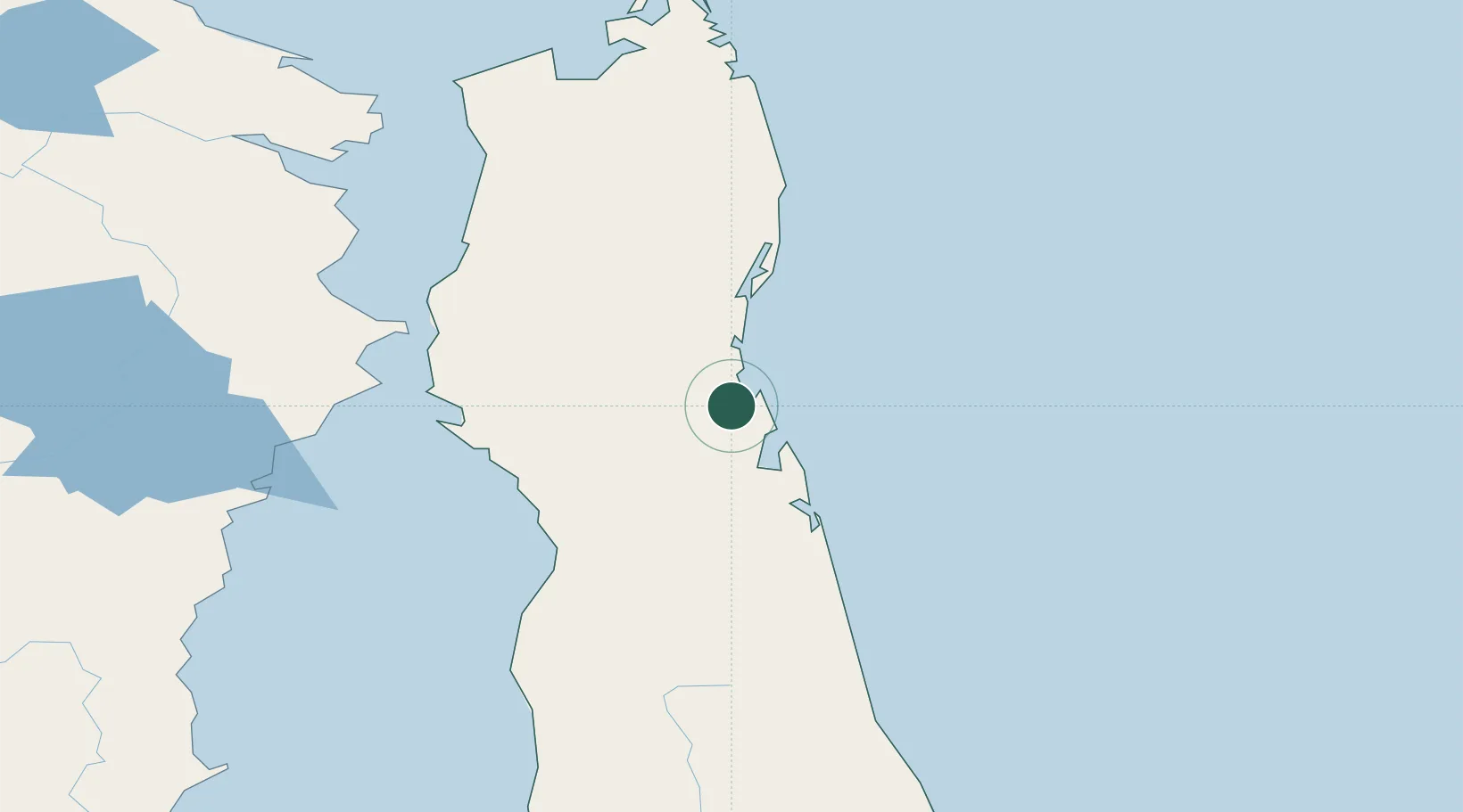
Location
Nearby Logistics Neighbours
Cities
- 1Chamgu104 km
- 2Aleksandrovsk-Sakhalinskiy121 km
- 3Dobroviz132 km
- 4Widuchowa150 km
- 5Libis171 km
Ports
- 1Lazarev117 km
- 2Aleksandrovsk -Sakhalinskiy122 km
- 3Mys Rogatyy Oktyabrskiy139 km
- 4De Kastri165 km
- 5Okha193 km
Airports
- 1Nogliki Airport5 km
- 2Bogorodskoye Airport192 km
- 3Nikolayevsk-na-Amure Airport223 km
- 4Shakhtyorsk Airport301 km
- 5Kamenny Ruchey Naval Air Base353 km
DatabookThe Record of Consolidated Knowledge
Russia beyond logistics?