Transport Functions
Port
Rail
Road
Hub Profile
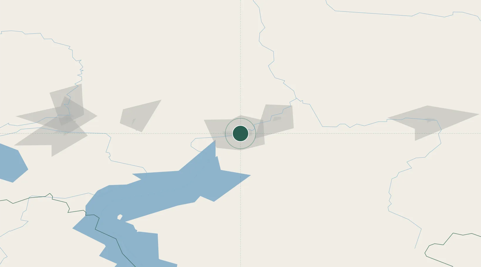
Place type
Regional capital
Region
Krasnoyarsk Krai
Population
1,090,811
Time zone
Asia/Krasnoyarsk
Elevation
182 m
Logistics facilities
4
Location
Nearby Logistics Neighbours
Cities
- 1Krasnojarsk2 km
- 2Bazaikha13 km
- 3Novaya Yelovka154 km
- 4Gammelby169 km
- 5Kursk187 km
Ports
- 1Igarka1314 km
- 2Dudinka1525 km
- 3Port Dikson2022 km
- 4Tianjin Xin Gang2634 km
- 5Qinhuangdao2641 km
Airports
- 1Krasnoyarsk Cheremshanka Airport32 km
- 2Krasnoyarsk International Airport35 km
- 3Achinsk Airport151 km
- 4Kansk Air Base168 km
- 5Motygino Airport263 km
Trade Zones
DatabookThe Record of Consolidated Knowledge
Russia beyond logistics?