Transport Functions
Rail
Road
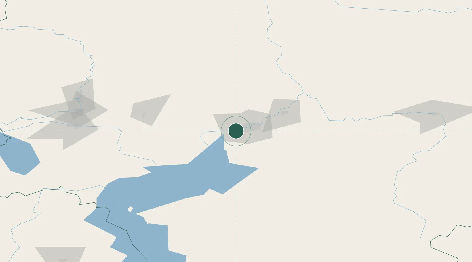
Hub Profile
Place type
Urban district
Region
Krasnoyarsk Krai
Time zone
Asia/Krasnoyarsk
Elevation
168 m
Location
Nearby Logistics Neighbours
Cities
- 1Krasnoyarsk13 km
- 2Krasnojarsk14 km
- 3Novaya Yelovka146 km
- 4Gammelby170 km
- 5Kursk176 km
Ports
- 1Igarka1317 km
- 2Dudinka1529 km
- 3Port Dikson2026 km
- 4Tianjin Xin Gang2640 km
- 5Qinhuangdao2648 km
Airports
- 1Krasnoyarsk Cheremshanka Airport28 km
- 2Krasnoyarsk International Airport30 km
- 3Achinsk Airport141 km
- 4Kansk Air Base180 km
- 5Abakan International Airport263 km
Trade Zones
DatabookThe Record of Consolidated Knowledge
Russia beyond logistics?