UN/LOCODE hub · Russia
RUKJA

Krasnojarsk

56.0134°, 92.9922°
2
Transport functions

Transport Functions

Port
Airport
UN/LOCODE

Hub Profile

Place type
Locality
GeoNames
Time zone
Asia/Krasnoyarsk
GeoNames
Elevation
209 m
GeoNames
Logistics facilities
4
UN/LOCODE

Location

Location of RUKJA
Natural Earth 10m (public domain) · Krasnoyarsk · RUKJA · 56.01, 92.99GoogleOSMYandex

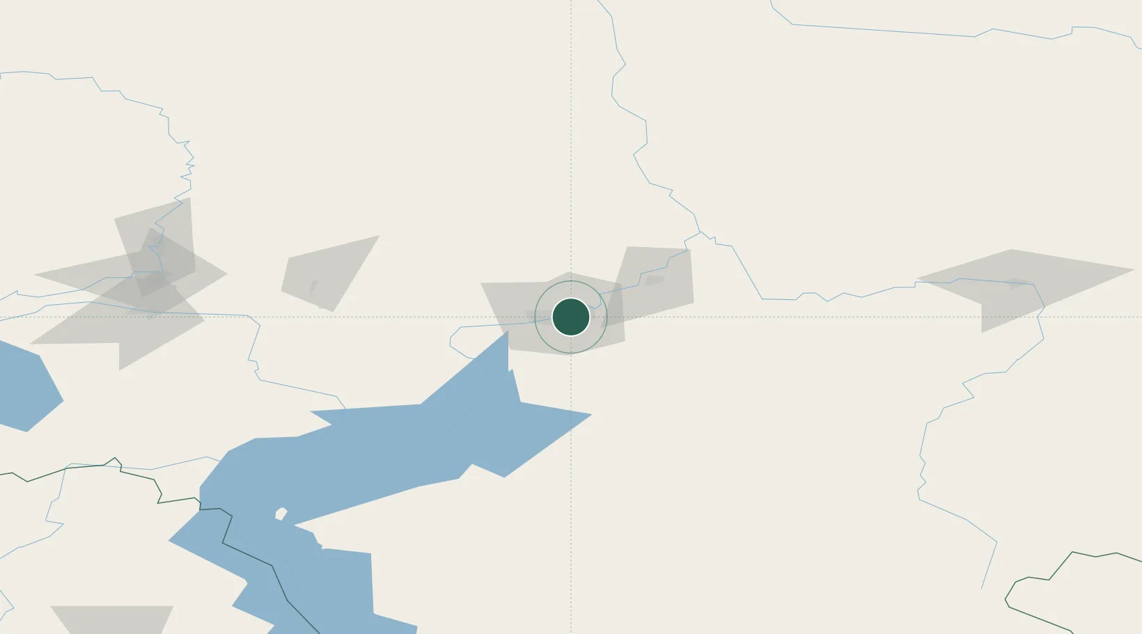
Nearby Logistics Neighbours

Cities
  1. 1Krasnoyarsk2 km
  2. 2Bazaikha14 km
  3. 3Novaya Yelovka155 km
  4. 4Gammelby167 km
  5. 5Kursk187 km
Nearest neighbours — logibook spatial index (haversine) over the source coordinates
Ports
  1. 1Igarka1315 km
  2. 2Dudinka1526 km
  3. 3Port Dikson2023 km
  4. 4Tianjin Xin Gang2632 km
  5. 5Qinhuangdao2639 km
Nearest neighbours — logibook spatial index (haversine) over the source coordinates
Airports
  1. 1Krasnoyarsk Cheremshanka Airport33 km
  2. 2Krasnoyarsk International Airport36 km
  3. 3Achinsk Airport152 km
  4. 4Kansk Air Base166 km
  5. 5Motygino Airport263 km
Nearest neighbours — logibook spatial index (haversine) over the source coordinates
Trade Zones
  1. 1Tomsk Technology Innovative Special Economic Zone493 km
  2. 2Altai Valley Special Economic Zone668 km
  3. 3Turquoise Katun Tourism Zone708 km
  4. 4Tsagaannuur Special Economic Zone762 km
  5. 5Baikal Gates Special Economic Zone885 km
Nearest neighbours — logibook spatial index (haversine) over the source coordinates
DatabookThe Record of Consolidated Knowledge
Russia beyond logistics?
Browse databook

All Sources

LocationsUN/LOCODE
UN/LOCODE — free
Portsthe NGA World Port Index
Public domain (US gov)
AirportsOurAirports
Public domain
Trade Zonesthe World Bank SEZ database
CC BY 4.0
Trade ZonesOpen Zone Map
CC BY
← Russia locations