Transport Functions
Rail
Road
Hub Profile
Place type
Provincial seat
Region
Perm Krai
Population
86,712
Time zone
Asia/Yekaterinburg
Elevation
130 m
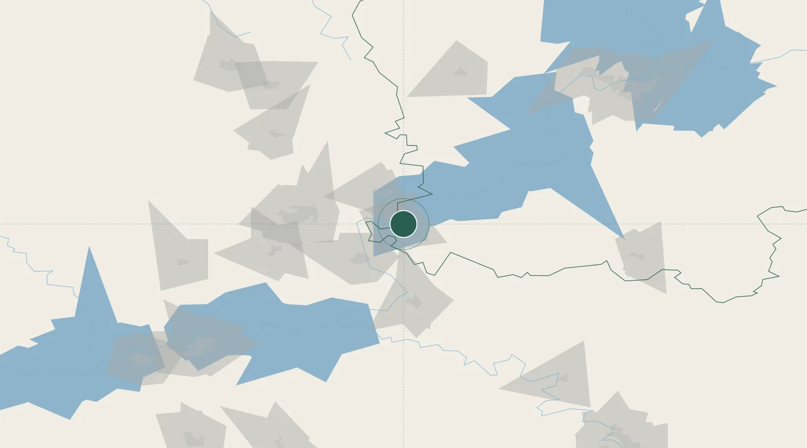
Location
Nearby Logistics Neighbours
Cities
- 1Derbeshkinskiy110 km
- 2Naberezhnyye Chelny157 km
- 3Yelabuga173 km
- 4Glazov175 km
- 5Krugloye Pole176 km
Ports
- 1Arkhangels'k1133 km
- 2Mezen1135 km
- 3Severodvinsk1163 km
- 4Rostov-Na-Donu1451 km
- 5Ostrovnoy Gremikha1454 km
Airports
- 1Izhevsk Airport42 km
- 2Perm International Airport169 km
- 3Begishevo Airport186 km
- 4Bugulma Airport253 km
- 5Ufa International Airport270 km
DatabookThe Record of Consolidated Knowledge
Russia beyond logistics?