Transport Functions
Rail
Road
Hub Profile
Place type
Populated place
Region
Krasnoyarsk Krai
Time zone
Asia/Krasnoyarsk
Elevation
239 m
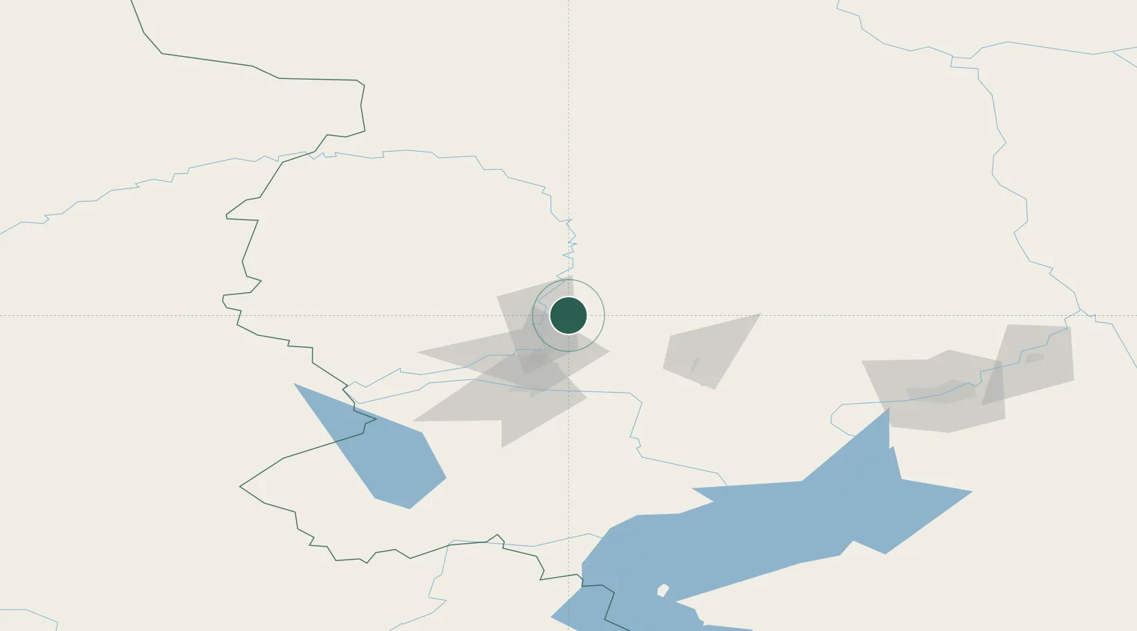
Location
Nearby Logistics Neighbours
Cities
- 1Bazaikha146 km
- 2Krasnoyarsk154 km
- 3Krasnojarsk155 km
- 4Kursk222 km
- 5Streika228 km
Ports
- 1Igarka1236 km
- 2Dudinka1451 km
- 3Port Dikson1944 km
- 4Tianjin Xin Gang2783 km
- 5Qinhuangdao2792 km
Airports
- 1Achinsk Airport26 km
- 2Krasnoyarsk International Airport120 km
- 3Krasnoyarsk Cheremshanka Airport123 km
- 4Yeniseysk Airport237 km
- 5Motygino Airport310 km
Trade Zones
DatabookThe Record of Consolidated Knowledge
Russia beyond logistics?