Transport Functions
Multimodal
Hub Profile
Place type
Local administrative seat
Region
Schleswig-Holstein
Population
554
Time zone
Europe/Berlin
Elevation
21 m
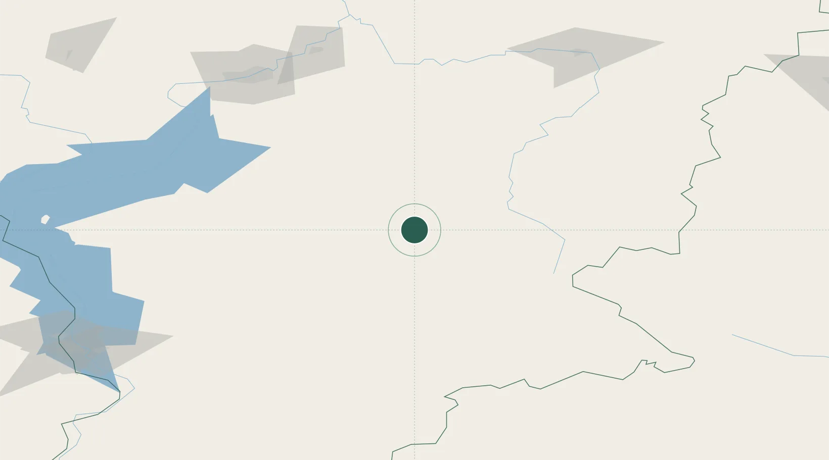
Location
Nearby Logistics Neighbours
Cities
- 1Krasnojarsk167 km
- 2Krasnoyarsk169 km
- 3Bazaikha170 km
- 4Kursk184 km
- 5Krasnoturansk185 km
Ports
- 1Igarka1474 km
- 2Dudinka1684 km
- 3Port Dikson2181 km
- 4Tianjin Xin Gang2480 km
- 5Qinhuangdao2492 km
Airports
- 1Kansk Air Base178 km
- 2Krasnoyarsk Cheremshanka Airport198 km
- 3Krasnoyarsk International Airport200 km
- 4Shushenskoye Airport210 km
- 5Abakan International Airport220 km
Trade Zones
DatabookThe Record of Consolidated Knowledge
Germany beyond logistics?