UN/LOCODE hub · Russia
RUKCP
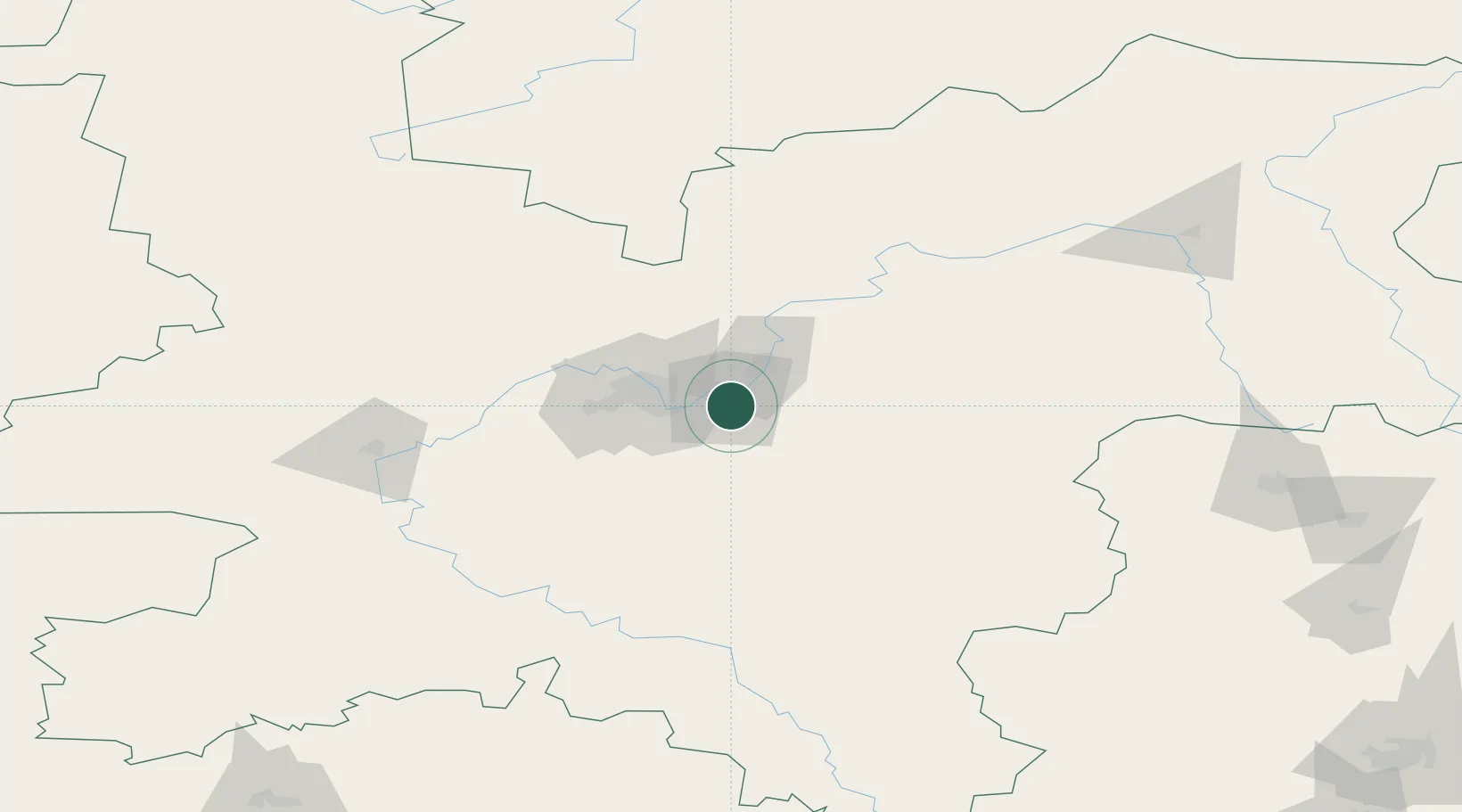
Kirovo-Chepetsk
58.5333°, 50.0333°
90,252
Population
3
Transport functions
Transport Functions
Rail
Road
Multimodal
Hub Profile
Place type
Provincial seat
Region
Kirov Oblast
Population
90,252
Time zone
Europe/Kirov
Elevation
164 m
Location
Nearby Logistics Neighbours
Cities
- 1Glazov159 km
- 2Shelanger279 km
- 3Mariinskiy Posad304 km
- 4Chaykovskiy313 km
- 5Zelënodol'sk314 km
Ports
- 1Arkhangels'k834 km
- 2Severodvinsk862 km
- 3Mezen866 km
- 4Ostrovnoy Gremikha1178 km
- 5Rostov-Na-Donu1438 km
Airports
- 1Pobedilovo Airport40 km
- 2Danilovo Air Base240 km
- 3Yoshkar-Ola Airport240 km
- 4Izhevsk Airport278 km
- 5Borisoglebskoye Airport301 km
DatabookThe Record of Consolidated Knowledge
Russia beyond logistics?