Transport Functions
Rail
Road
Airport
Hub Profile
Place type
Regional capital
Region
Vila Real
Population
17,001
Time zone
Europe/Lisbon
Elevation
462 m
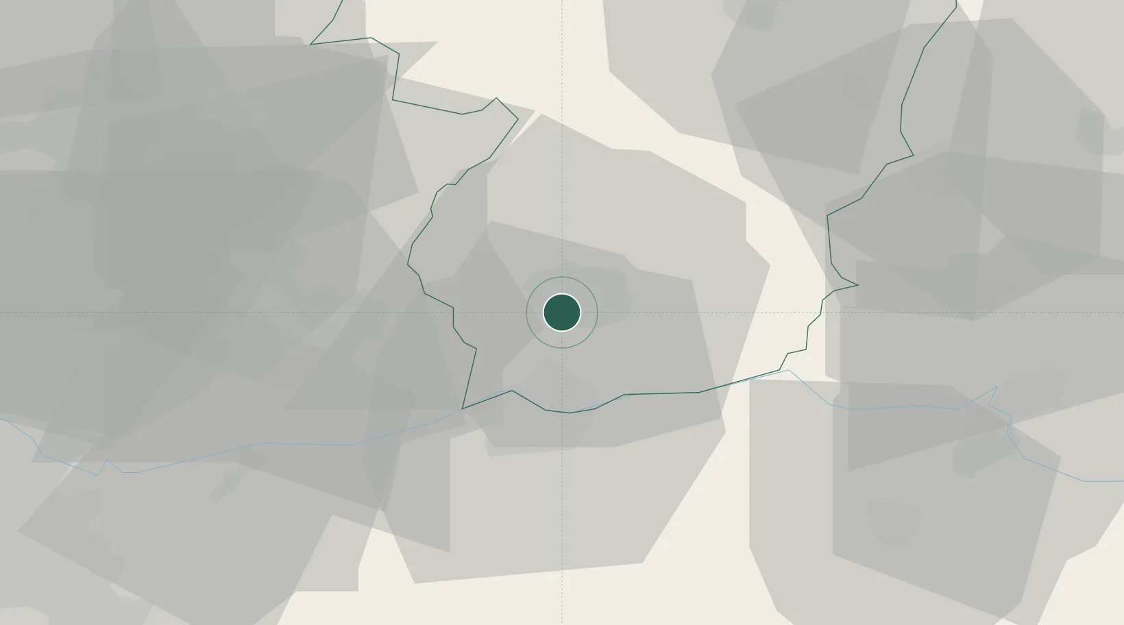
Location
Nearby Logistics Neighbours
Cities
- 1Santa Marta de Penaguião12 km
- 2São Gonçalo13 km
- 3Peso da Régua15 km
- 4Cambres19 km
- 5Mesão Frio20 km
Ports
- 1Oporto79 km
- 2Porto De Leixoes81 km
- 3Viana Do Castelo101 km
- 4Aveiro105 km
- 5Vigo131 km
Airports
Trade Zones
DatabookThe Record of Consolidated Knowledge
Portugal beyond logistics?