Seaport · Portugal
Ponta DelgadaPTPDL
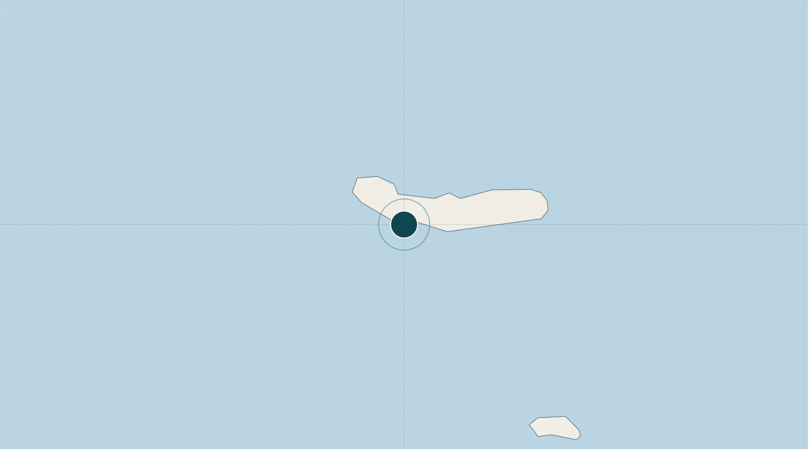
37.7333°, -25.6667°
7.9 m
Channel depth
1
Container terminals
38.8
Port liner connectivity
Channel & Berth Profile
Pilotage, Tugs & Services
Pilotage compulsoryYES
Pilotage availableYES
Pilotage advisableYES
Tug assistanceYES
Salvage tugsNO
Shore powerYES
Potable waterYES
Diesel bunkersYES
MedicalYES
Garbage disposalYES
Facilities & Capabilities
Container—
Ro-Ro—
Liquid bulk—
Dry bulk—
Oil terminal—
Break bulk—
Dry dockNO
RepairsNO
BunkeringYES
Rail link—
Dangerous cargo—
ISPS security—
Harbour Specifications
Harbour size
Small
Harbour type
Coastal (Breakwater)
Shelter
Good
Water body
North Atlantic Ocean
Tidal range
2 m
Pilotage
Yes
Liner Connectivity
38.8
PLSCI
Port Liner Shipping Connectivity Index for Ponta Delgada, as published by UNCTAD for the latest available quarter. Higher values indicate stronger scheduled liner-shipping integration.
Shown relative to the highest per-port PLSCI in the dataset (1,657.9).
Location
Container Terminals · 1
PORT OF PONTA DELGADA
PODE PORTOS DOS ACORES, SA
Nearby Logistics Neighbours
Ports
- 1Vila Do Porto100 km
- 2Praia De Vitoria163 km
- 3Angra Do Heroismo170 km
- 4Lajes239 km
- 5Horta274 km
Cities
- 1Rabo de Peixe10 km
- 2Vila Franca do Campo21 km
- 3Varzea21 km
- 4Povoação37 km
- 5Nordeste45 km
Airports
- 1João Paulo II Airport3 km
- 2Santa Maria Airport95 km
- 3Lajes Airport169 km
- 4São Jorge Airport243 km
- 5Graciosa Airport255 km
Trade Zones
DatabookThe Record of Consolidated Knowledge
Portugal beyond logistics?