Channel & Berth Profile
Pilotage, Tugs & Services
Pilotage compulsoryYES
Pilotage availableYES
Pilotage advisableNO
Tug assistanceYES
Salvage tugsNO
Potable waterYES
Diesel bunkersYES
MedicalYES
Garbage disposalYES
Facilities & Capabilities
Container—
Ro-Ro—
Liquid bulk—
Dry bulk—
Oil terminal—
Break bulk—
Dry dock—
RepairsNO
BunkeringYES
Rail link—
Dangerous cargo—
ISPS security—
Harbour Specifications
Harbour size
Small
Harbour type
Coastal (Breakwater)
Shelter
Fair
Water body
North Atlantic Ocean
Tidal range
2 m
Pilotage
Yes
Liner Connectivity
13.3
PLSCI
Port Liner Shipping Connectivity Index for Horta, as published by UNCTAD for the latest available quarter. Higher values indicate stronger scheduled liner-shipping integration.
Shown relative to the highest per-port PLSCI in the dataset (1,657.9).
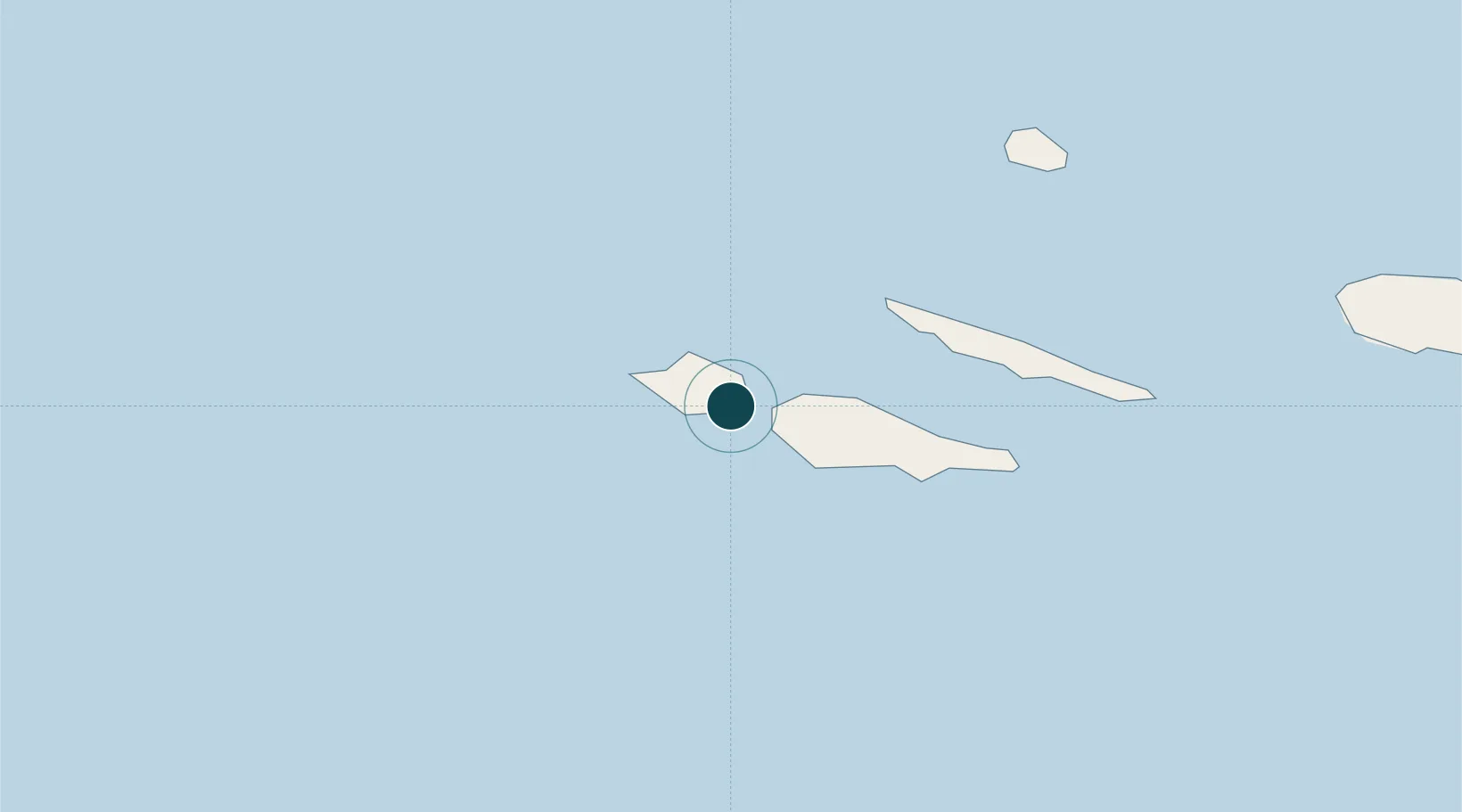
Location
Nearby Logistics Neighbours
Ports
- 1Lajes35 km
- 2Angra Do Heroismo124 km
- 3Praia De Vitoria139 km
- 4Ponta Delgada274 km
- 5Vila Do Porto354 km
Cities
- 1Madalena (Madalena do Pico)9 km
- 2Capelo14 km
- 3Cais do Pico27 km
- 4Lajes36 km
- 5Velas40 km
Airports
- 1Horta Airport7 km
- 2Pico Airport17 km
- 3São Jorge Airport42 km
- 4Graciosa Airport81 km
- 5Lajes Airport136 km
Trade Zones
- 1Centro Internacional De Negocios da Madeira1244 km
- 2Zona Franca de Tenerife1600 km
- 3Zona Franca de Las Palmas de Gran Canaria1681 km
- 4Zona Livre Tecnológica Masotinhos1724 km
- 5Zona Franca de Vigo1729 km
DatabookThe Record of Consolidated Knowledge
Portugal beyond logistics?