Medium airport · Portugal
Flores AirportLPFL
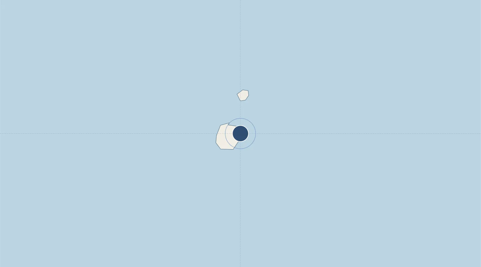
39.4553°, -31.1314°
4,593 ft
Longest runway
1
Runways
112 ft
Elevation
Runway & Layout

Radio Frequencies
TWR
118.3 MHz
Navaids
FLO NDB Flores 270 kHz
FRS VOR-DME Flores 113.30 MHz
Runways · 1
| Runway | Dimensions | Surface | True heading | Lit |
|---|---|---|---|---|
| 18/36 | 4,593 × 98ft | Asphalt | 166° | ✓ |
Airport Specifications
IATA code
FLW
ICAO code
LPFL
Airport class
Medium airport
Scheduled service
Yes
Runway surface
Asphalt
Served city
Santa Cruz das Flores
Location
Nearby Logistics Neighbours
Airports
- 1Corvo Airport24 km
- 2Horta Airport233 km
- 3Pico Airport253 km
- 4São Jorge Airport270 km
- 5Graciosa Airport270 km
Cities
- 1Santa Cruz das Flores1 km
- 2Lajes das Flores9 km
- 3Vila Nova do Corvo24 km
- 4Capelo225 km
- 5Horta239 km
Ports
- 1Horta239 km
- 2Lajes274 km
- 3Angra Do Heroismo350 km
- 4Praia De Vitoria362 km
- 5Ponta Delgada512 km
Trade Zones
- 1Centro Internacional De Negocios da Madeira1483 km
- 2Zona Franca de Tenerife1832 km
- 3Zona Franca de Vigo1902 km
- 4Zona Livre Tecnológica Masotinhos1908 km
- 5Zona Franca de Las Palmas de Gran Canaria1915 km
DatabookThe Record of Consolidated Knowledge
Portugal beyond logistics?