Small airport · Portugal
Corvo AirportLPCR
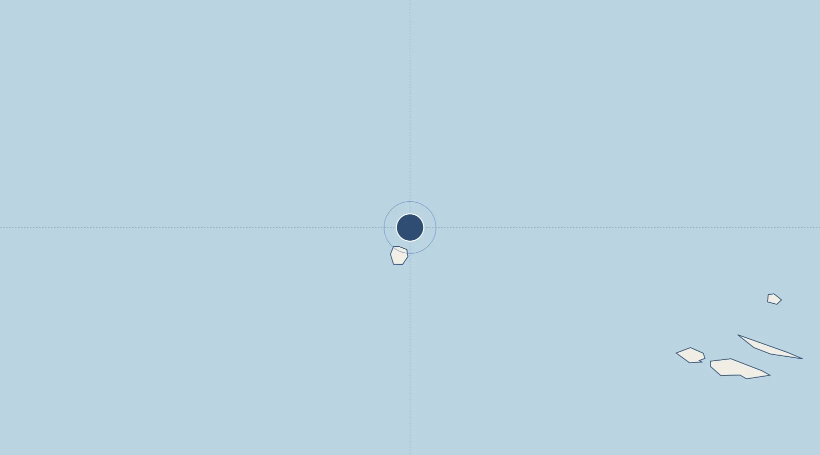
39.6715°, -31.1136°
2,625 ft
Longest runway
1
Runways
62 ft
Elevation
Runway & Layout

Runways · 1
| Runway | Dimensions | Surface | True heading | Lit |
|---|---|---|---|---|
| 11/29 | 2,625 × —ft | Asphalt | — | — |
Airport Specifications
IATA code
CVU
ICAO code
LPCR
Airport class
Small airport
Scheduled service
Yes
Runway surface
Asphalt
Served city
Corvo
Location
Nearby Logistics Neighbours
Airports
- 1Flores Airport24 km
- 2Horta Airport243 km
- 3Pico Airport262 km
- 4Graciosa Airport273 km
- 5São Jorge Airport277 km
Cities
- 1Vila Nova do Corvo1 km
- 2Santa Cruz das Flores25 km
- 3Lajes das Flores33 km
- 4Capelo235 km
- 5Horta249 km
Ports
- 1Horta249 km
- 2Lajes284 km
- 3Angra Do Heroismo355 km
- 4Praia De Vitoria366 km
- 5Ponta Delgada519 km
Trade Zones
- 1Centro Internacional De Negocios da Madeira1492 km
- 2Zona Franca de Tenerife1846 km
- 3Zona Franca de Vigo1893 km
- 4Zona Livre Tecnológica Masotinhos1901 km
- 5VGP Park Santa Maria da Feira1912 km
DatabookThe Record of Consolidated Knowledge
Portugal beyond logistics?