Seaport · Portugal
Praia De VitoriaPTPRV
38.7167°, -27.0500°
17.1 m
Channel depth
34.0
Port liner connectivity
Channel & Berth Profile
Pilotage, Tugs & Services
Pilotage compulsoryYES
Pilotage availableYES
Tug assistanceNO
Salvage tugsNO
Shore powerYES
Potable waterYES
Diesel bunkersYES
MedicalYES
Garbage disposalNO
Facilities & Capabilities
Container—
Ro-Ro—
Liquid bulk—
Dry bulk—
Oil terminal—
Break bulk—
Dry dock—
Repairs—
BunkeringYES
Rail link—
Dangerous cargo—
ISPS security—
Harbour Specifications
Harbour size
Very Small
Harbour type
Coastal (Natural)
Shelter
Fair
Water body
North Atlantic Ocean
Tidal range
2 m
Pilotage
Yes
Liner Connectivity
34
PLSCI
Port Liner Shipping Connectivity Index for Praia De Vitoria, as published by UNCTAD for the latest available quarter. Higher values indicate stronger scheduled liner-shipping integration.
Shown relative to the highest per-port PLSCI in the dataset (1,657.9).
Location
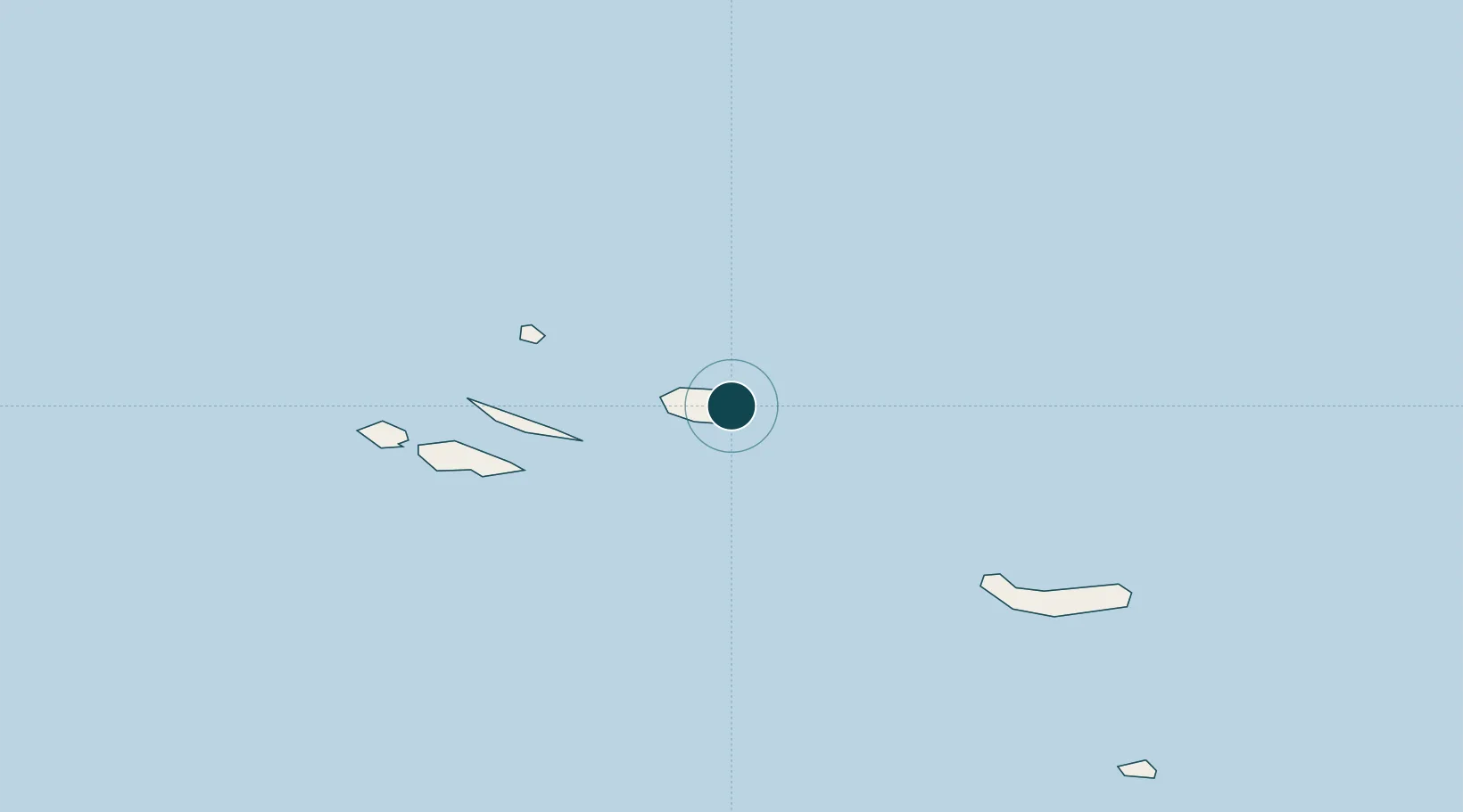
Nearby Logistics Neighbours
Ports
- 1Angra Do Heroismo16 km
- 2Lajes112 km
- 3Horta139 km
- 4Ponta Delgada163 km
- 5Vila Do Porto259 km
Cities
- 1Terceira Island Apt15 km
- 2Angra do Heroísmo16 km
- 3São Mateus20 km
- 4Topo66 km
- 5Calheta, Island São Jorge85 km
Airports
- 1Lajes Airport6 km
- 2Graciosa Airport95 km
- 3São Jorge Airport98 km
- 4Pico Airport122 km
- 5Horta Airport146 km
Trade Zones
- 1Centro Internacional De Negocios da Madeira1136 km
- 2Zona Franca de Tenerife1513 km
- 3Zona Livre Tecnológica Masotinhos1586 km
- 4Zona Franca de Las Palmas de Gran Canaria1592 km
- 5Zona Franca de Vigo1593 km
DatabookThe Record of Consolidated Knowledge
Portugal beyond logistics?