Transport Functions
Port
Road
Hub Profile
Region
01
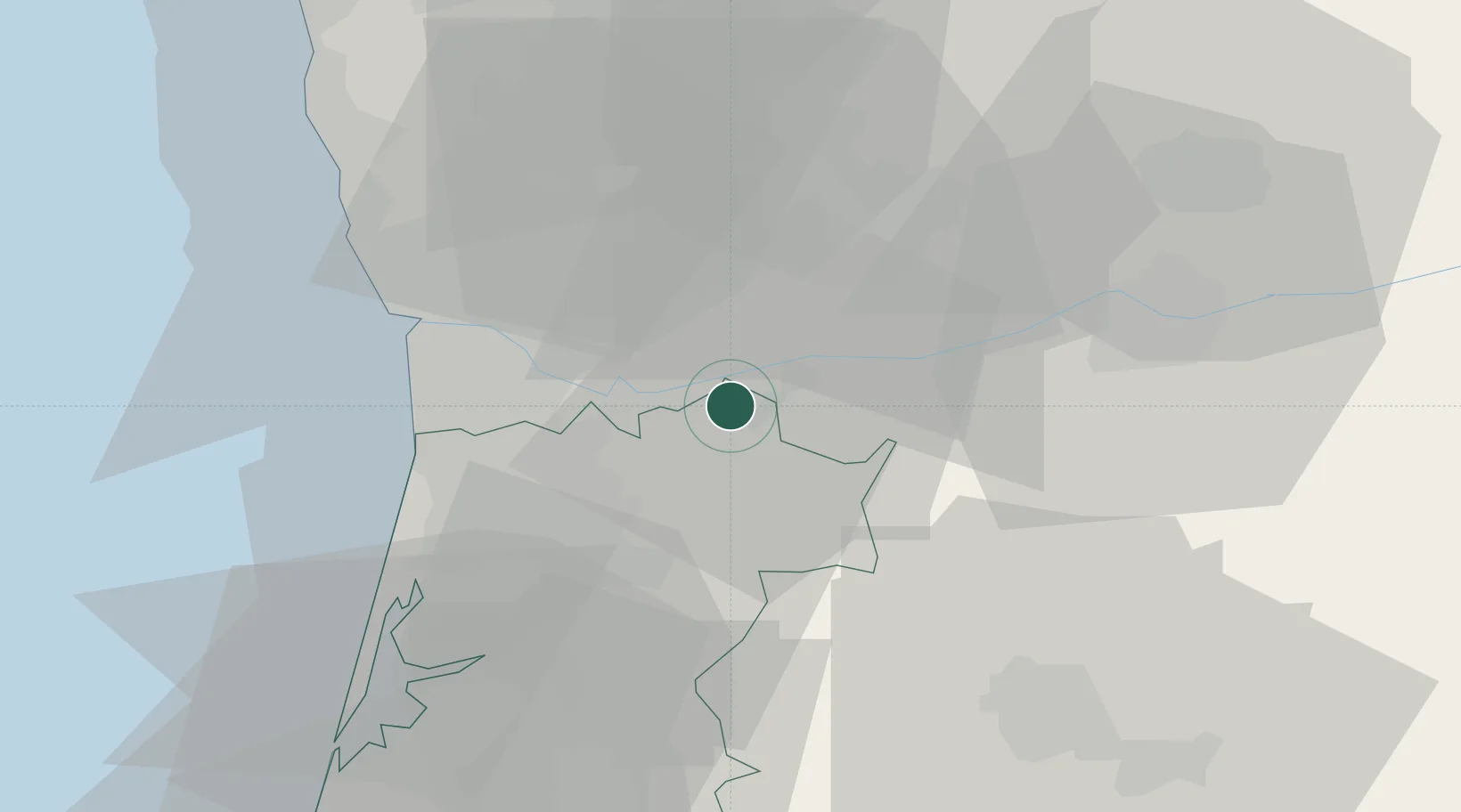
Location
Nearby Logistics Neighbours
Cities
- 1Penafiel17 km
- 2Cinfães17 km
- 3Baltar17 km
- 4Várzea do Douro17 km
- 5Escariz17 km
Ports
- 1Oporto34 km
- 2Porto De Leixoes38 km
- 3Aveiro54 km
- 4Viana Do Castelo86 km
- 5Figueira Da Foz111 km
Airports
Trade Zones
DatabookThe Record of Consolidated Knowledge
Portugal beyond logistics?