Transport Functions
Rail
Road
Hub Profile
Place type
Provincial seat
Region
Viseu
Population
3,166
Time zone
Europe/Lisbon
Elevation
232 m
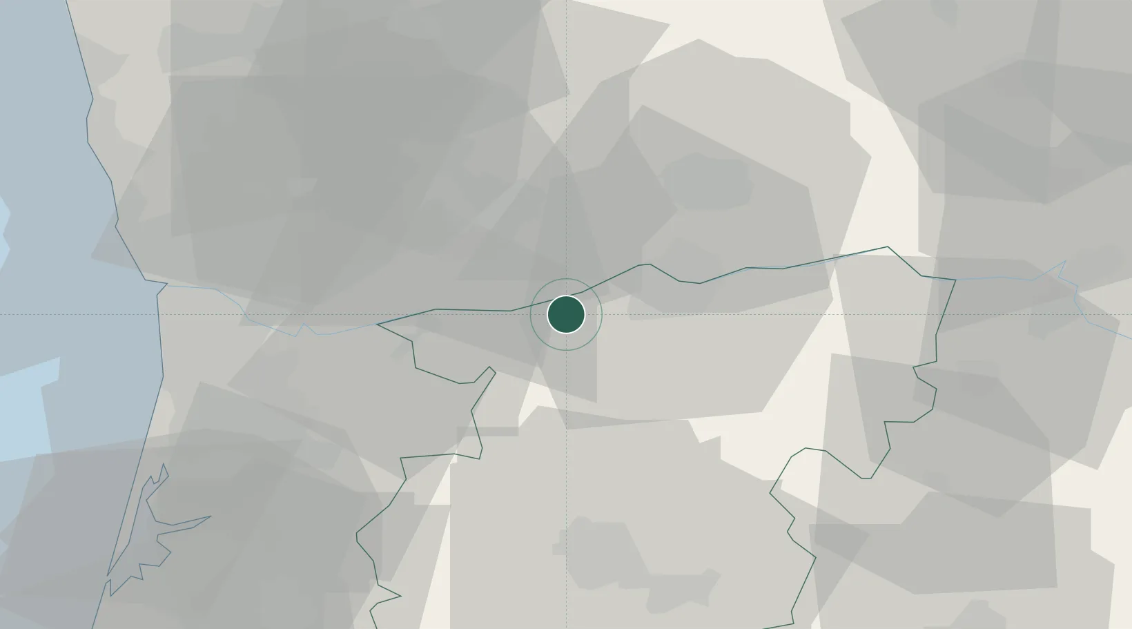
Location
Nearby Logistics Neighbours
Cities
- 1Mesão Frio9 km
- 2Porto CDP10 km
- 3Cinfães11 km
- 4Lamego13 km
- 5Cambres14 km
Ports
- 1Oporto59 km
- 2Porto De Leixoes62 km
- 3Aveiro76 km
- 4Viana Do Castelo98 km
- 5Figueira Da Foz129 km
Airports
Trade Zones
DatabookThe Record of Consolidated Knowledge
Portugal beyond logistics?