Transport Functions
Rail
Road
Hub Profile
Place type
Provincial seat
Region
Viseu
Population
10,928
Time zone
Europe/Lisbon
Elevation
502 m
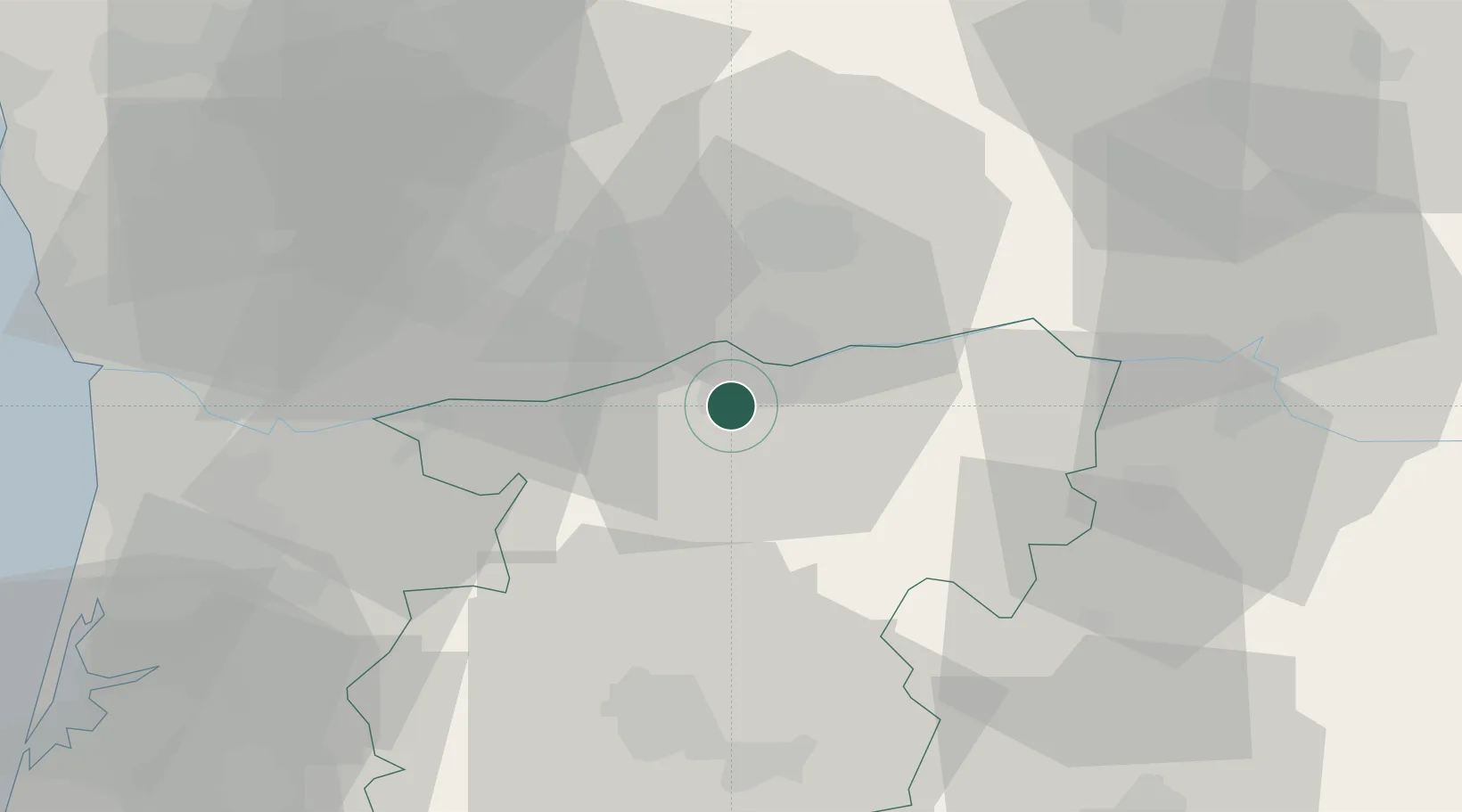
Location
Nearby Logistics Neighbours
Cities
- 1Cambres4 km
- 2Mesão Frio8 km
- 3Peso da Régua8 km
- 4São Gonçalo10 km
- 5Santa Marta de Penaguião11 km
Ports
- 1Oporto71 km
- 2Porto De Leixoes75 km
- 3Aveiro86 km
- 4Viana Do Castelo108 km
- 5Figueira Da Foz137 km
Airports
Trade Zones
DatabookThe Record of Consolidated Knowledge
Portugal beyond logistics?