UN/LOCODE hub · Portugal
PTMRC
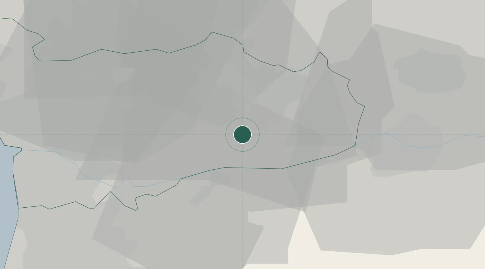
Marco de Canavezes
41.1833°, -8.1500°
9,042
Population
2
Transport functions
Transport Functions
Rail
Road
Hub Profile
Place type
Provincial seat
Region
Porto
Population
9,042
Time zone
Europe/Lisbon
Elevation
206 m
Location
Nearby Logistics Neighbours
Ports
- 1Oporto43 km
- 2Porto De Leixoes46 km
- 3Aveiro73 km
- 4Viana Do Castelo81 km
- 5Vigo126 km
Airports
- 1Vilar de Luz Airfield32 km
- 2Vila Real Airport37 km
- 3Francisco de Sá Carneiro Airport45 km
- 4Ovar Air Base51 km
- 5Braga Municipal Aerodrome51 km
Trade Zones
DatabookThe Record of Consolidated Knowledge
Portugal beyond logistics?