Transport Functions
Rail
Road
Hub Profile
Region
13
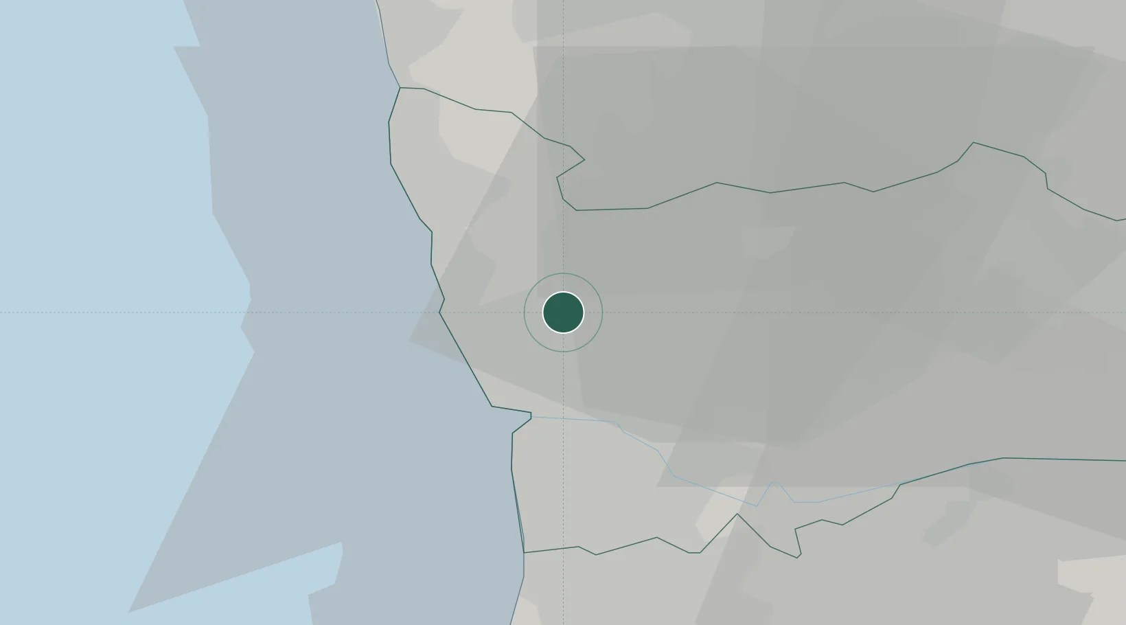
Location
Nearby Logistics Neighbours
Cities
- 1Maia2 km
- 2Santa Maria de Avioso2 km
- 3Gemunde3 km
- 4Vilar do Pinheiro5 km
- 5Leça do Bailio6 km
Ports
- 1Porto De Leixoes10 km
- 2Oporto12 km
- 3Viana Do Castelo53 km
- 4Aveiro67 km
- 5Vigo110 km
Airports
- 1Francisco de Sá Carneiro Airport5 km
- 2Vilar de Luz Airfield9 km
- 3Ovar Air Base37 km
- 4Braga Municipal Aerodrome40 km
- 5Vila Real Airport75 km
Trade Zones
DatabookThe Record of Consolidated Knowledge
Portugal beyond logistics?