UN/LOCODE hub · Poland
PLWAW

Warszawa

52.2099°, 20.9267°
3
Transport functions

Transport Functions

Rail
Road
Airport
UN/LOCODE

Hub Profile

Region
14
GeoNames
Logistics facilities
6
UN/LOCODE

Location

Location of PLWAW
Natural Earth 10m (public domain) · 14 · PLWAW · 52.21, 20.93GoogleOSMYandex

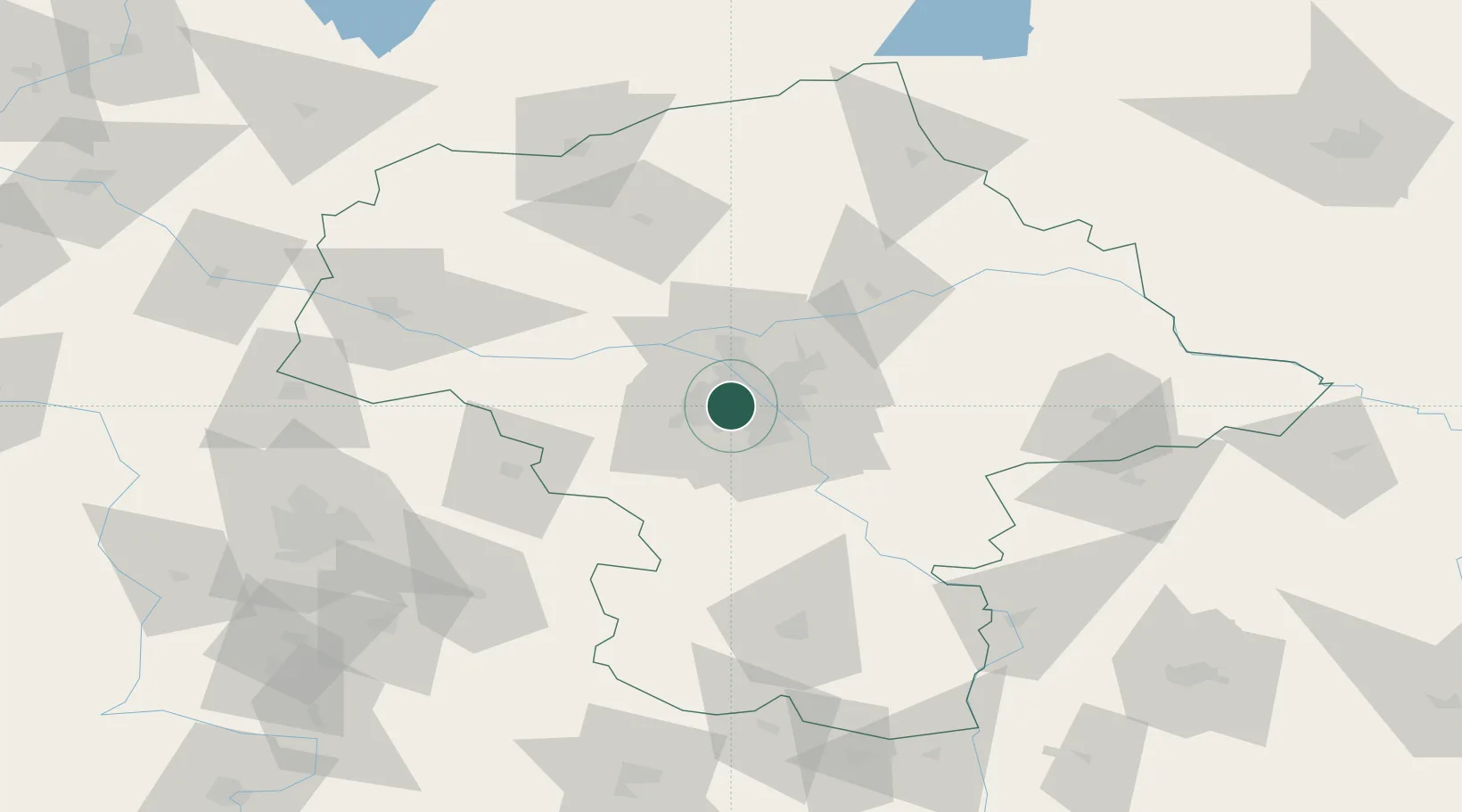
Nearby Logistics Neighbours

Cities
  1. 1Stare Babice7 km
  2. 2Duchnice9 km
  3. 3Pruszkow11 km
  4. 4Komorow11 km
  5. 5Kanie14 km
Nearest neighbours — logibook spatial index (haversine) over the source coordinates
Ports
  1. 1Baltiysk278 km
  2. 2Kaliningrad278 km
  3. 3Gdansk281 km
  4. 4Nowy Port288 km
  5. 5Gdynia303 km
Nearest neighbours — logibook spatial index (haversine) over the source coordinates
Airports
  1. 1Warsaw Chopin Airport6 km
  2. 2Warsaw Modlin Airport33 km
  3. 3Minsk Mazowiecki Military Air Base50 km
  4. 4Tomaszów Mazowiecki Military Air Base90 km
  5. 5Warsaw Radom Airport93 km
Nearest neighbours — logibook spatial index (haversine) over the source coordinates
Trade Zones
  1. 1Warsaw Airport Duty Free Zone6 km
  2. 2East-West Duty Free Zone39 km
  3. 3Łódź SEZ (ōódzka SSE)112 km
  4. 4Starachowice SEZ (SSE Starachowice)131 km
  5. 5Lublin Subzone (of Euro-Park Mielec)151 km
Nearest neighbours — logibook spatial index (haversine) over the source coordinates
DatabookThe Record of Consolidated Knowledge
Poland beyond logistics?
Browse databook

All Sources

LocationsUN/LOCODE
UN/LOCODE — free
Portsthe NGA World Port Index
Public domain (US gov)
AirportsOurAirports
Public domain
Trade Zonesthe World Bank SEZ database
CC BY 4.0
Trade ZonesOpen Zone Map
CC BY
← Poland locations