Transport Functions
Rail
Road
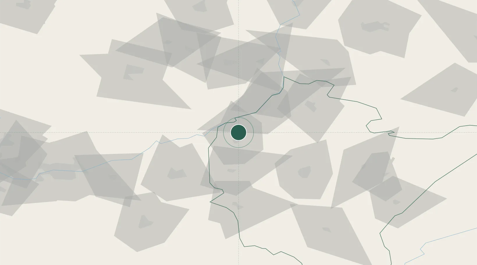
Hub Profile
Place type
Populated place
Region
Subcarpathia
Population
920
Time zone
Europe/Warsaw
Elevation
157 m
Location
Nearby Logistics Neighbours
Ports
- 1Gdansk482 km
- 2Baltiysk486 km
- 3Kaliningrad486 km
- 4Nowy Port489 km
- 5Gdynia504 km
Airports
- 1Rzeszów-Jasionka Airport49 km
- 2Warsaw Radom Airport115 km
- 3Kraków John Paul II International Airport124 km
- 4Lublin Airport131 km
- 5Deblin Military Air Base135 km
Trade Zones
DatabookThe Record of Consolidated Knowledge
Poland beyond logistics?