Transport Functions
Rail
Road
Hub Profile
Place type
Provincial seat
Region
Greater Poland
Population
29,533
Time zone
Europe/Warsaw
Elevation
121 m
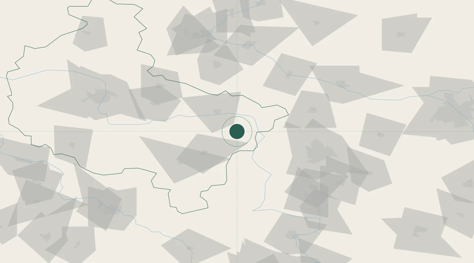
Location
Nearby Logistics Neighbours
Airports
- 1Leźnica Wielka Air Base45 km
- 2Powidz Military Air Base59 km
- 3Łask Air Base71 km
- 4Łódź Władysław Reymont Airport71 km
- 5Inowroclaw Military Air Base91 km
Trade Zones
DatabookThe Record of Consolidated Knowledge
Poland beyond logistics?