Transport Functions
Rail
Road
Hub Profile
Place type
District seat
Region
Greater Poland
Population
1,700
Time zone
Europe/Warsaw
Elevation
85 m
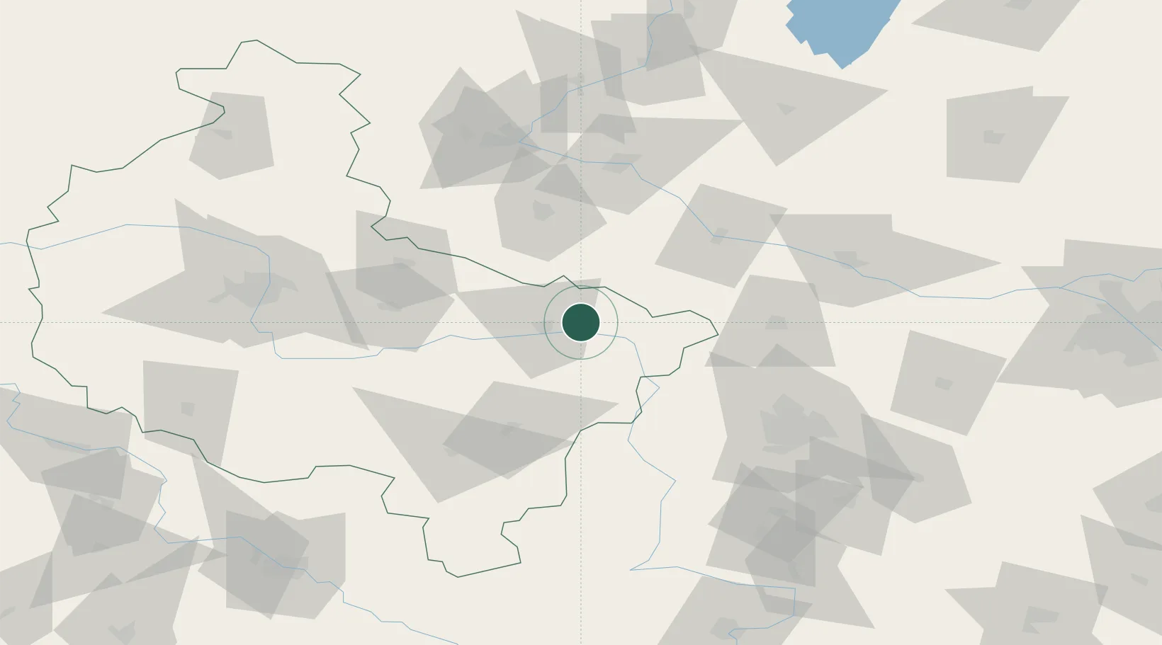
Location
Nearby Logistics Neighbours
Cities
- 1Konin16 km
- 2Zlotków26 km
- 3Turek28 km
- 4Piotrków Kujawski32 km
- 5Rybie32 km
Airports
- 1Powidz Military Air Base41 km
- 2Leźnica Wielka Air Base57 km
- 3Inowroclaw Military Air Base63 km
- 4Łódź Władysław Reymont Airport90 km
- 5Łask Air Base95 km
Trade Zones
DatabookThe Record of Consolidated Knowledge
Poland beyond logistics?