Transport Functions
Multimodal
Hub Profile
Place type
District seat
Region
Greater Poland
Population
520
Time zone
Europe/Warsaw
Elevation
111 m
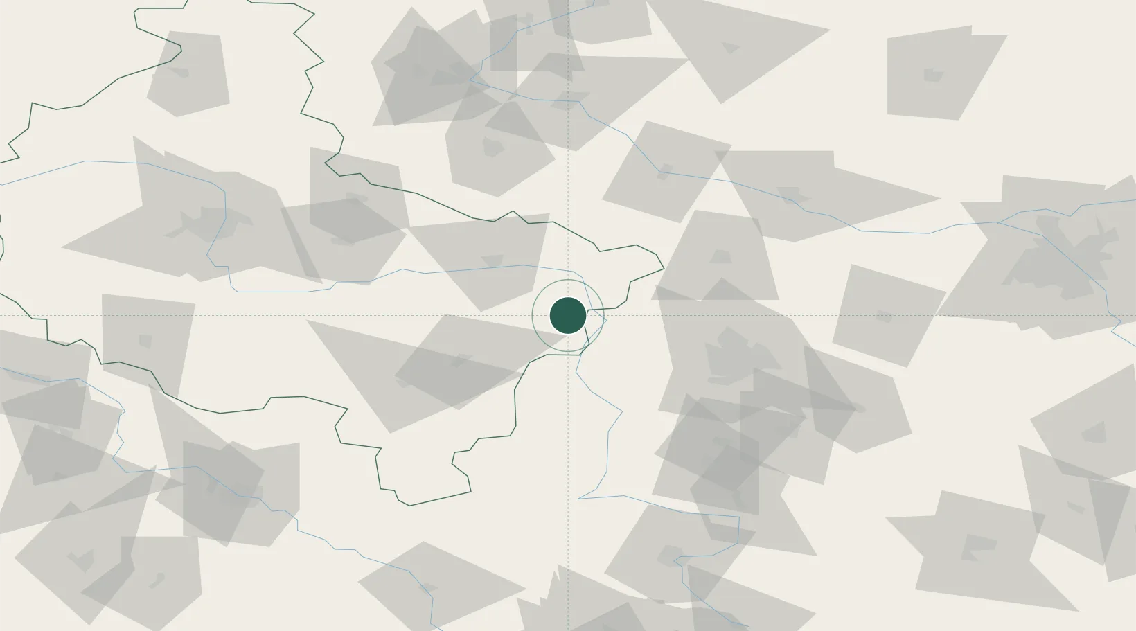
Location
Nearby Logistics Neighbours
Airports
- 1Leźnica Wielka Air Base36 km
- 2Łódź Władysław Reymont Airport61 km
- 3Łask Air Base62 km
- 4Powidz Military Air Base68 km
- 5Inowroclaw Military Air Base96 km
Trade Zones
- 1Łódź SEZ (ōódzka SSE)64 km
- 2East-West Duty Free Zone129 km
- 3Warsaw Airport Duty Free Zone162 km
- 4Silesian Center for Logistics184 km
- 5Katowice SEZ (Katowicka SSE)198 km
DatabookThe Record of Consolidated Knowledge
Poland beyond logistics?