Transport Functions
Rail
Road
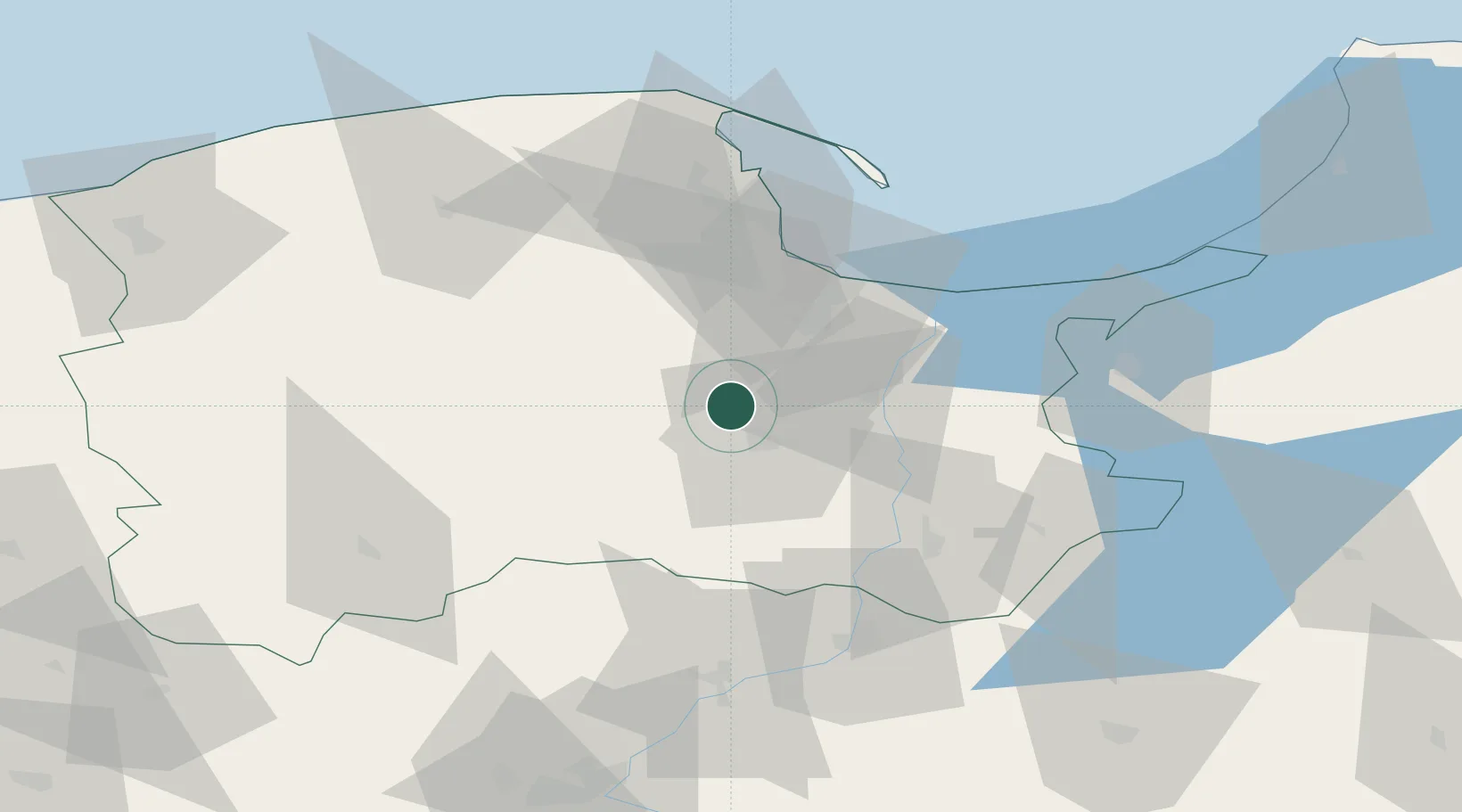
Hub Profile
Place type
Populated place
Region
Pomerania
Population
6,942
Time zone
Europe/Warsaw
Elevation
112 m
Location
Nearby Logistics Neighbours
Cities
- 1Starogard Gdanski12 km
- 2Legowo21 km
- 3Kolbudy Dolne22 km
- 4Wielki Klincz25 km
- 5Kielpino28 km
Airports
Trade Zones
DatabookThe Record of Consolidated Knowledge
Poland beyond logistics?