Transport Functions
Rail
Road
Hub Profile
Place type
Populated place
Region
Świętokrzyskie
Time zone
Europe/Warsaw
Elevation
200 m
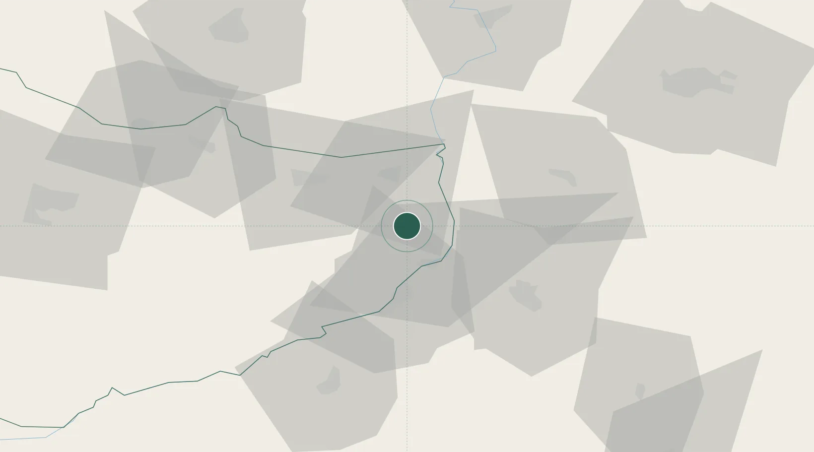
Location
Nearby Logistics Neighbours
Cities
- 1Dwikozy9 km
- 2Ostrowiec Swietokrzyski26 km
- 3Siennica Rózana35 km
- 4Skopanie36 km
- 5Krasnik40 km
Ports
- 1Kaliningrad441 km
- 2Baltiysk443 km
- 3Gdansk445 km
- 4Nowy Port451 km
- 5Gdynia466 km
Airports
- 1Warsaw Radom Airport74 km
- 2Rzeszów-Jasionka Airport80 km
- 3Deblin Military Air Base85 km
- 4Lublin Airport86 km
- 5Tomaszów Mazowiecki Military Air Base142 km
Trade Zones
DatabookThe Record of Consolidated Knowledge
Poland beyond logistics?