Transport Functions
Multimodal
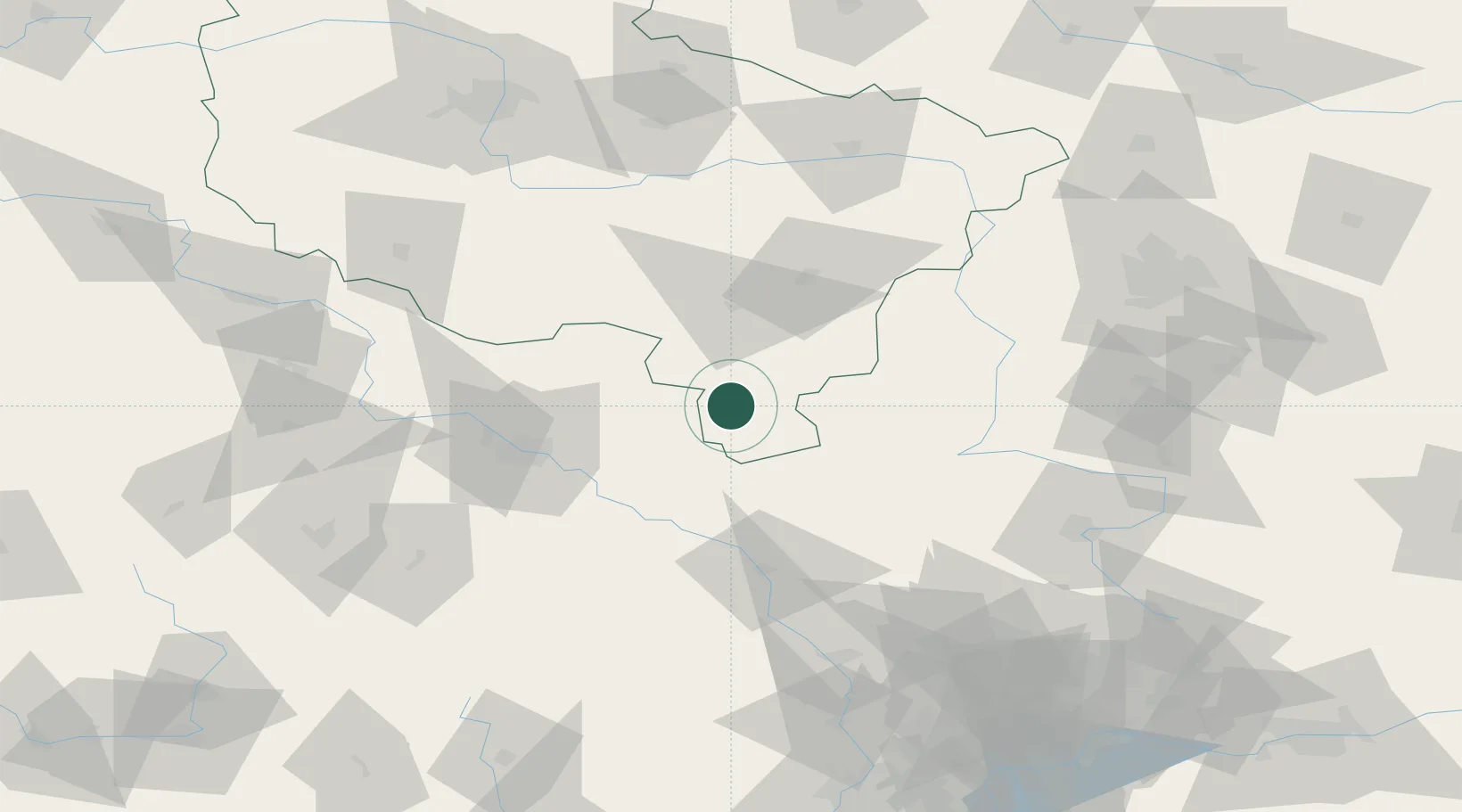
Hub Profile
Place type
District seat
Region
Greater Poland
Population
774
Time zone
Europe/Warsaw
Elevation
177 m
Location
Nearby Logistics Neighbours
Cities
- 1Sycow7 km
- 2Kepno12 km
- 3Ostrzeszów18 km
- 4Wieruszów22 km
- 5Namyslów23 km
Airports
- 1Copernicus Wrocław Airport68 km
- 2Łask Air Base99 km
- 3Łódź Władysław Reymont Airport120 km
- 4Leźnica Wielka Air Base122 km
- 5Powidz Military Air Base122 km
Trade Zones
DatabookThe Record of Consolidated Knowledge
Poland beyond logistics?