Transport Functions
Road
Multimodal
Hub Profile
Place type
Populated place
Region
Lower Silesia
Population
10,809
Time zone
Europe/Warsaw
Elevation
169 m
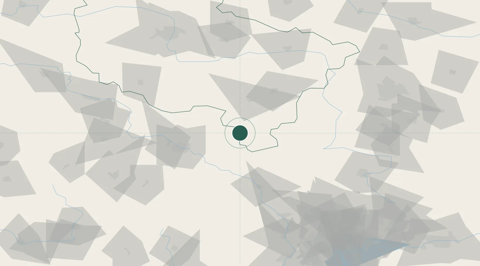
Location
Nearby Logistics Neighbours
Cities
- 1Perzów7 km
- 2Kepno19 km
- 3Bierutów22 km
- 4Ostrzeszów22 km
- 5Namyslów22 km
Airports
- 1Copernicus Wrocław Airport62 km
- 2Łask Air Base106 km
- 3Powidz Military Air Base122 km
- 4Łódź Władysław Reymont Airport126 km
- 5Leźnica Wielka Air Base127 km
Trade Zones
- 1Wałbrzych SEZ INVEST-PARK (Wałbrzyska SSE)111 km
- 2Silesian Center for Logistics124 km
- 3Legnica SEZ (Legnicka SSE)124 km
- 4Kamienna Góra131 km
- 5Łódź SEZ (ōódzka SSE)133 km
DatabookThe Record of Consolidated Knowledge
Poland beyond logistics?