Transport Functions
Port
Hub Profile
Place type
Regional capital
Region
Il-Gżira
Population
11,669
Time zone
Europe/Malta
Elevation
31 m
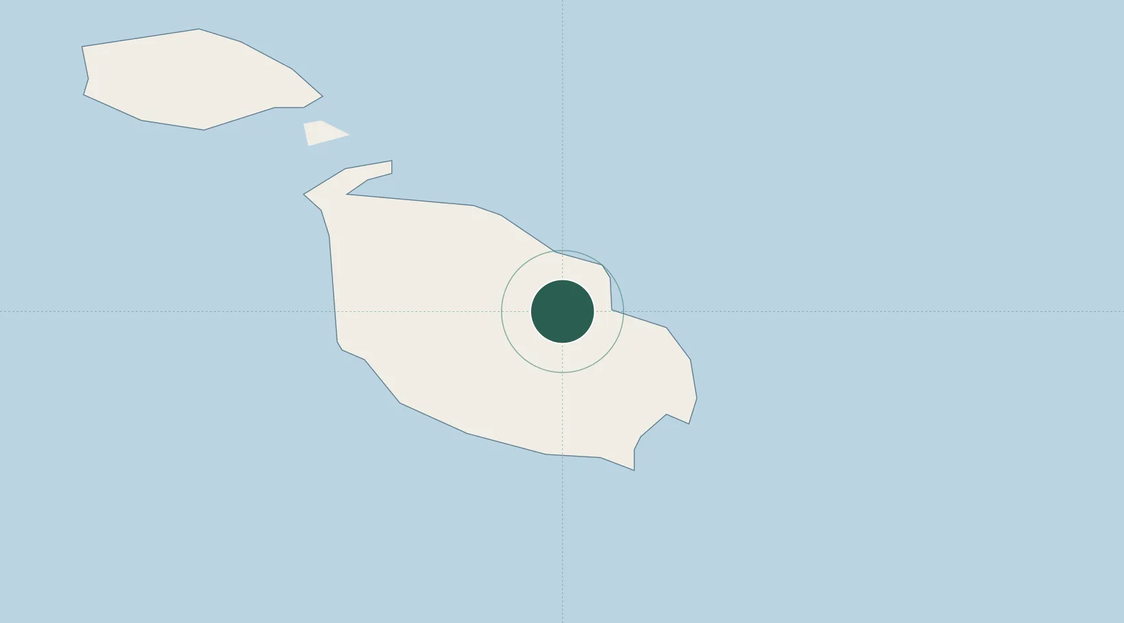
Location
Nearby Logistics Neighbours
Cities
- 1Marsamxett2 km
- 2Sliema2 km
- 3Hamrun2 km
- 4Pietà2 km
- 5Msida2 km
Ports
- 1Valletta Harbors3 km
- 2Marsaxlokk11 km
- 3Pozzallo97 km
- 4Gela131 km
- 5Licata141 km
Airports
- 1Malta International Airport6 km
- 2Xewkija Heliport24 km
- 3Comiso Airport122 km
- 4Sigonella Navy Air Base172 km
- 5Lampedusa Airport174 km
Trade Zones
- 1Malta Freeport11 km
- 2Sicily Special Economic Zone Area185 km
- 3Zwara-Abu-Kemmash Free Trade Zone399 km
- 4Misurata Free Zone402 km
- 5Ben Guerdane Economic Free Zone408 km
DatabookThe Record of Consolidated Knowledge
Malta beyond logistics?