UN/LOCODE hub · Malta
MTMSX

Marsamxett

35.9000°, 14.5000°
1
Transport functions

Transport Functions

Port
UN/LOCODE

Hub Profile

Region
17
GeoNames

Location

Location of MTMSX
Natural Earth 10m (public domain) · 17 · MTMSX · 35.90, 14.50GoogleOSMYandex

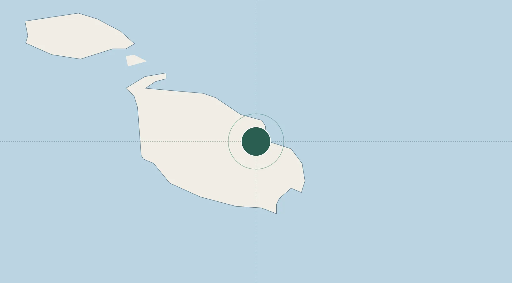
Nearby Logistics Neighbours

Cities
  1. 1Sliema0 km
  2. 2Gzira2 km
  3. 3Floriana2 km
  4. 4Hamrun2 km
  5. 5Pietà2 km
Nearest neighbours — logibook spatial index (haversine) over the source coordinates
Ports
  1. 1Valletta Harbors2 km
  2. 2Marsaxlokk10 km
  3. 3Pozzallo96 km
  4. 4Gela132 km
  5. 5Licata142 km
Nearest neighbours — logibook spatial index (haversine) over the source coordinates
Airports
  1. 1Malta International Airport6 km
  2. 2Xewkija Heliport25 km
  3. 3Comiso Airport122 km
  4. 4Sigonella Navy Air Base171 km
  5. 5Lampedusa Airport176 km
Nearest neighbours — logibook spatial index (haversine) over the source coordinates
Trade Zones
  1. 1Malta Freeport10 km
  2. 2Sicily Special Economic Zone Area186 km
  3. 3Zwara-Abu-Kemmash Free Trade Zone400 km
  4. 4Misurata Free Zone401 km
  5. 5Calabria Special Economic Zone408 km
Nearest neighbours — logibook spatial index (haversine) over the source coordinates
DatabookThe Record of Consolidated Knowledge
Malta beyond logistics?
Browse databook

All Sources

LocationsUN/LOCODE
UN/LOCODE — free
Portsthe NGA World Port Index
Public domain (US gov)
AirportsOurAirports
Public domain
Trade Zonesthe World Bank SEZ database
CC BY 4.0
Trade ZonesOpen Zone Map
CC BY
← Malta locations