UN/LOCODE hub · Morocco
MACAS
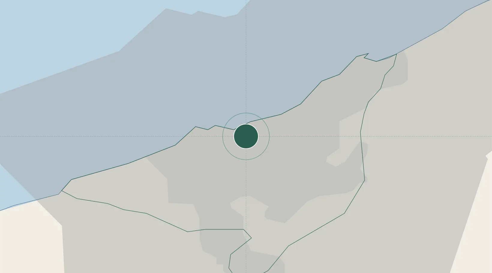
Casablanca
33.5972°, -7.5860°
3,665,954
Population
3
Transport functions
2
Container terminals
Transport Functions
Port
Airport
Postal
Hub Profile
Place type
Regional capital
Region
Casablanca-Settat
Population
3,665,954
Time zone
Africa/Casablanca
Elevation
27 m
Logistics facilities
21
Container terminals
2
Location
Nearby Logistics Neighbours
Cities
- 1Roches Noires2 km
- 2Aïn Sebaa5 km
- 3Aïn Harrouda14 km
- 4Mediouna18 km
- 5Bouskoura19 km
Ports
- 1Mohammedia22 km
- 2El Jadida93 km
- 3El Jorf Lasfar110 km
- 4Kenitra120 km
- 5Safi212 km
Airports
- 1Mohammed V International Airport26 km
- 2Rabat-Salé Airport92 km
- 3Kenitra Air Base120 km
- 4Beni Mellal Airport178 km
- 5Bassatine Airport194 km
Trade Zones
- 1Casablanca MIDPARC Free Zone25 km
- 2Settat Industrial Park - SETTAPARK69 km
- 3Technopolis91 km
- 4Jorf Lasfar Industrial Park106 km
- 5Zona Franca Kenitra Atlantic137 km
DatabookThe Record of Consolidated Knowledge
Morocco beyond logistics?