Transport Functions
Rail
Road
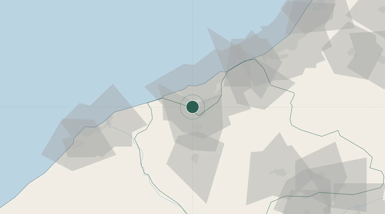
Hub Profile
Place type
District seat
Region
Casablanca-Settat
Population
112,501
Time zone
Africa/Casablanca
Elevation
140 m
Location
Nearby Logistics Neighbours
Cities
- 1Mediouna11 km
- 2Casablanca19 km
- 3Roches Noires20 km
- 4Aïn Sebaa21 km
- 5Aïn Harrouda28 km
Ports
- 1Casablanca19 km
- 2Mohammedia38 km
- 3El Jadida83 km
- 4El Jorf Lasfar98 km
- 5Kenitra136 km
Airports
- 1Mohammed V International Airport8 km
- 2Rabat-Salé Airport107 km
- 3Kenitra Air Base136 km
- 4Beni Mellal Airport168 km
- 5Bassatine Airport202 km
Trade Zones
- 1Casablanca MIDPARC Free Zone10 km
- 2Settat Industrial Park - SETTAPARK50 km
- 3Jorf Lasfar Industrial Park95 km
- 4Technopolis105 km
- 5Zona Franca Kenitra Atlantic151 km
DatabookThe Record of Consolidated Knowledge
Morocco beyond logistics?