Transport Functions
Multimodal
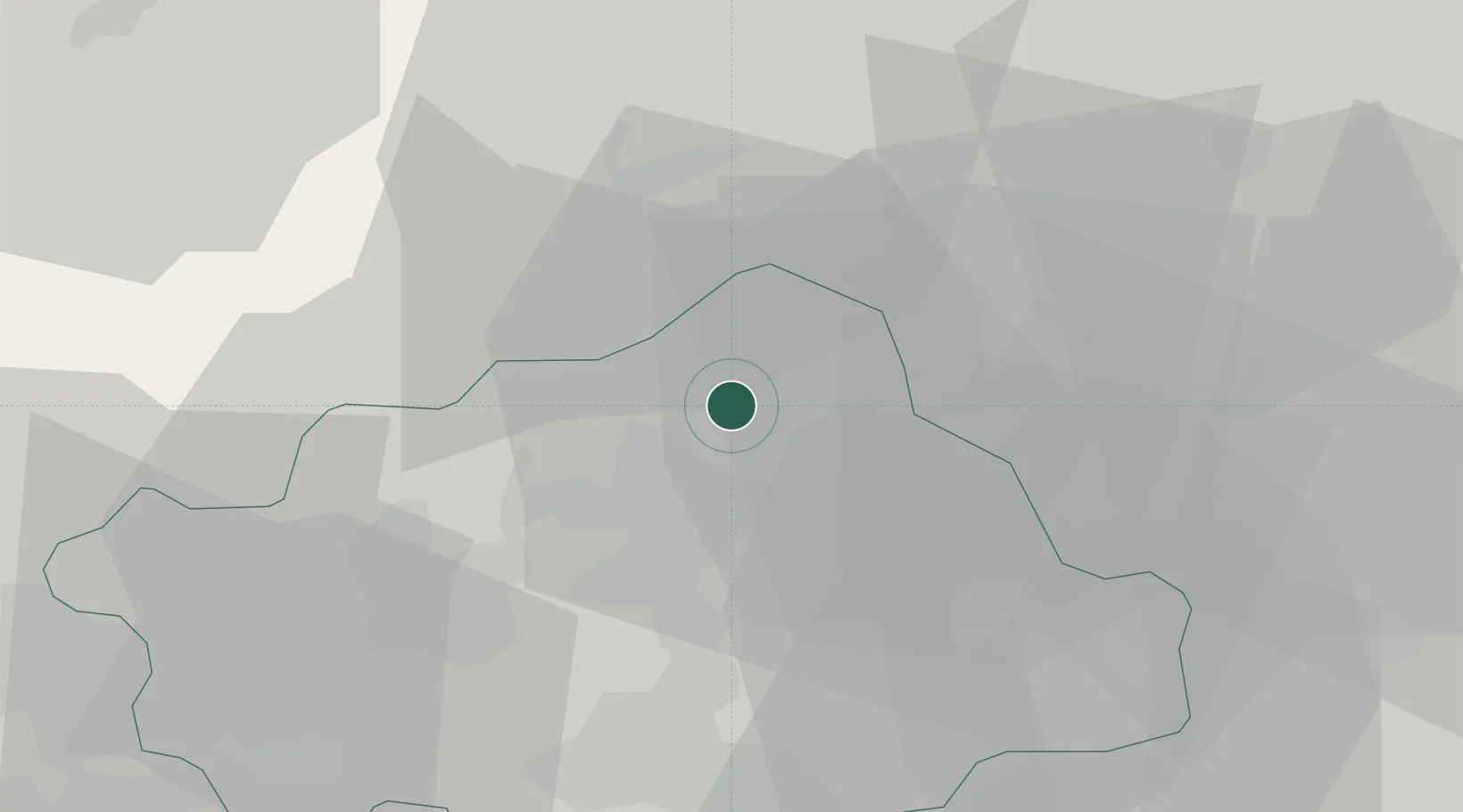
Location
Nearby Logistics Neighbours
Cities
- 1Cappella Maggiore4 km
- 2Carpesica4 km
- 3Castello Roganzuolo6 km
- 4Sarmede6 km
- 5Tarzo7 km
Ports
- 1Porto Di Lido-Venezia62 km
- 2Nogaro71 km
- 3Porto Di Chioggia82 km
- 4Grado83 km
- 5Monfalcone99 km
Airports
- 1Aviano Air Base24 km
- 2Istrana Air Base36 km
- 3Treviso Airport36 km
- 4Venice Marco Polo Airport52 km
- 5Udine-Rivolto Air Base58 km
Trade Zones
DatabookThe Record of Consolidated Knowledge
Italy beyond logistics?