Transport Functions
Road
Multimodal
Hub Profile
Place type
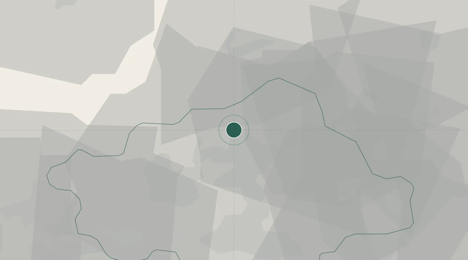
District seat
Region
Veneto
Population
1,544
Time zone
Europe/Rome
Elevation
267 m
Location
Nearby Logistics Neighbours
Cities
- 1San Giacomo di Veglia7 km
- 2Castello Roganzuolo10 km
- 3Carpesica10 km
- 4Cappella Maggiore11 km
- 5Olmo Di Martellago13 km
Ports
- 1Porto Di Lido-Venezia62 km
- 2Nogaro77 km
- 3Porto Di Chioggia80 km
- 4Grado88 km
- 5Monfalcone105 km
Airports
- 1Aviano Air Base31 km
- 2Istrana Air Base31 km
- 3Treviso Airport34 km
- 4Venice Marco Polo Airport51 km
- 5Udine-Rivolto Air Base64 km
Trade Zones
DatabookThe Record of Consolidated Knowledge
Italy beyond logistics?