Transport Functions
Multimodal
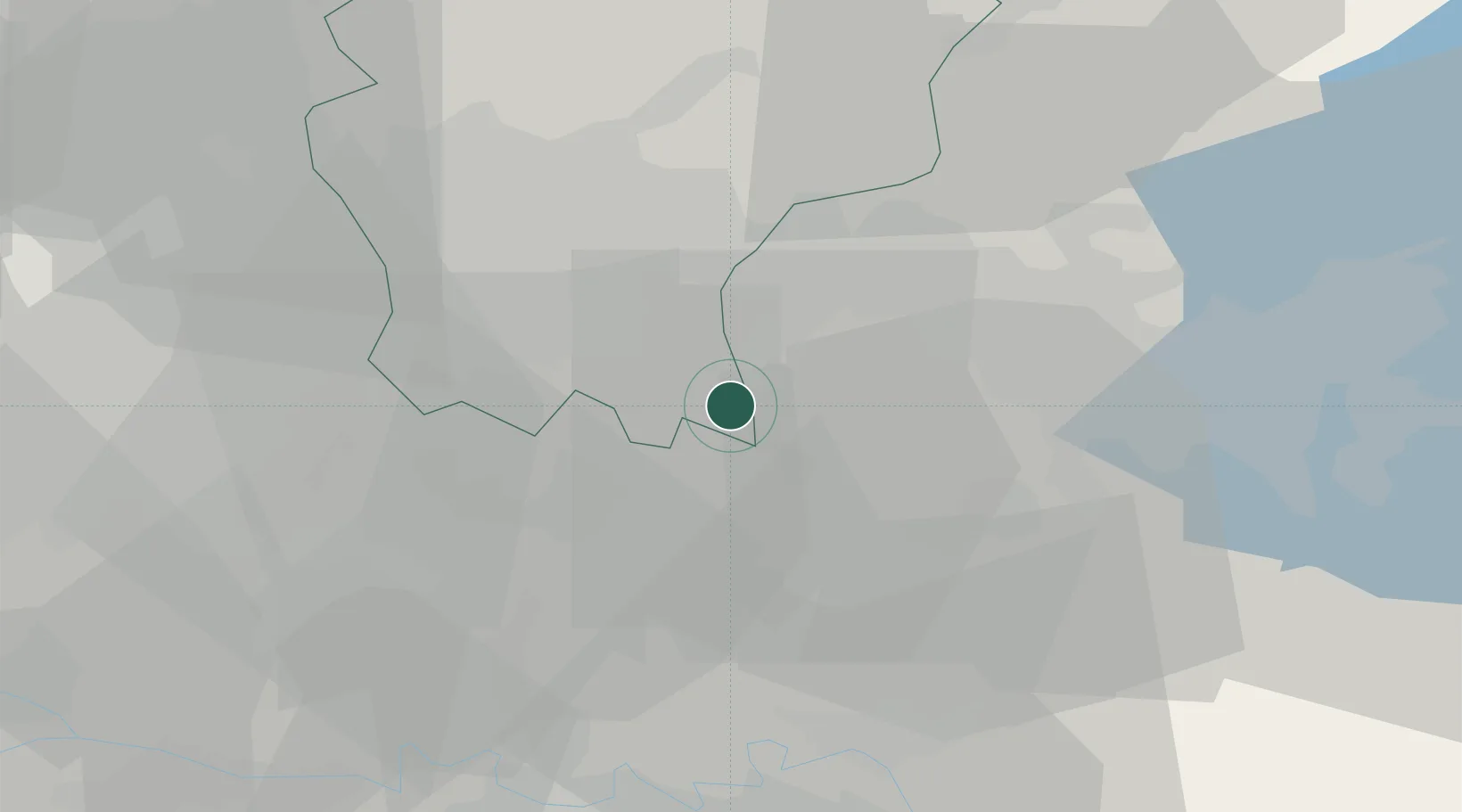
Hub Profile
Place type
District seat
Region
Lombardy
Population
1,252
Time zone
Europe/Rome
Elevation
106 m
Location
Nearby Logistics Neighbours
Cities
- 1Roccafranca4 km
- 2Castelcovati6 km
- 3Chiari9 km
- 4Parre10 km
- 5Romano di Lombardia11 km
Ports
- 1Chiavari - Lavagna136 km
- 2Genova140 km
- 3La Spezia152 km
- 4Marina Di Carrara161 km
- 5Savona167 km
Airports
Trade Zones
DatabookThe Record of Consolidated Knowledge
Italy beyond logistics?